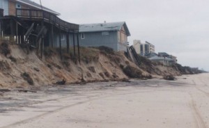
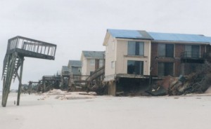
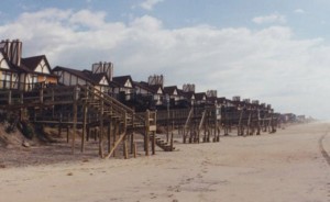
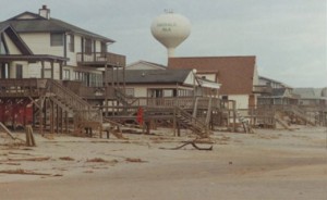
Ten years ago, CSE was invited by Carteret County to assist the Beach Preservation Task Force in developing a shoreline erosion assessment and beach restoration plan for Bogue Banks. The impetus for the plan was a succession of five hurricanes between 1996 and September 1999. Within four months, CSE completed the first comprehensive beach and inshore survey of the island, located several viable sand borrow areas, and prepared a preliminary design and estimate of construction costs for beach nourishment along 16.8 miles encompassing the towns of Pine Knoll Shores (PKS), Indian Beach and unincorporated Salter Path (IBSP), and Emerald Isle (EI).
By April 2002, Phase I of CSE’s three-phase, $32 million plan was complete along Pine Knoll Shores and Indian Beach/Salter Path. It was followed one year later by Phase II encompassing east and central Emerald Isle. CSE also prepared the Phase III concept plan and preliminary design for realignment of the Bogue Inlet channel and restoration of western Emerald Isle. Final design and implementation of Phase III was completed by another firm in 2005.
The Carteret County beach restoration project was pioneering in a number of ways:
- Only the second project in North Carolina to utilize offshore borrow areas and ocean-certified hopper dredges.
- Largest locally sponsored nourishment project (Phases I and II involved no state or federal funds) in North Carolina
- One of the largest nourishment projects ever in the United States.
The keys to rapid implementation of Phases I and II of the County plan were timely field data collection, preparation of a credible and understandable (to the community) plan, close coordination with regulatory and resource agencies during the NEPA/NCEPA process, and strong local leadership in support of the plan. Since the first phase of the County beach restoration project was completed (April 2002), there have been a total of 11 nourishment events (~10.3 million cubic yards) along Bogue Banks. This is the equivalent of ~80 cy/ft added along the entire length of the island.
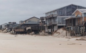
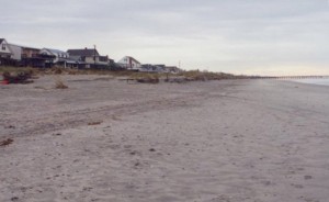
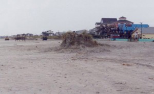
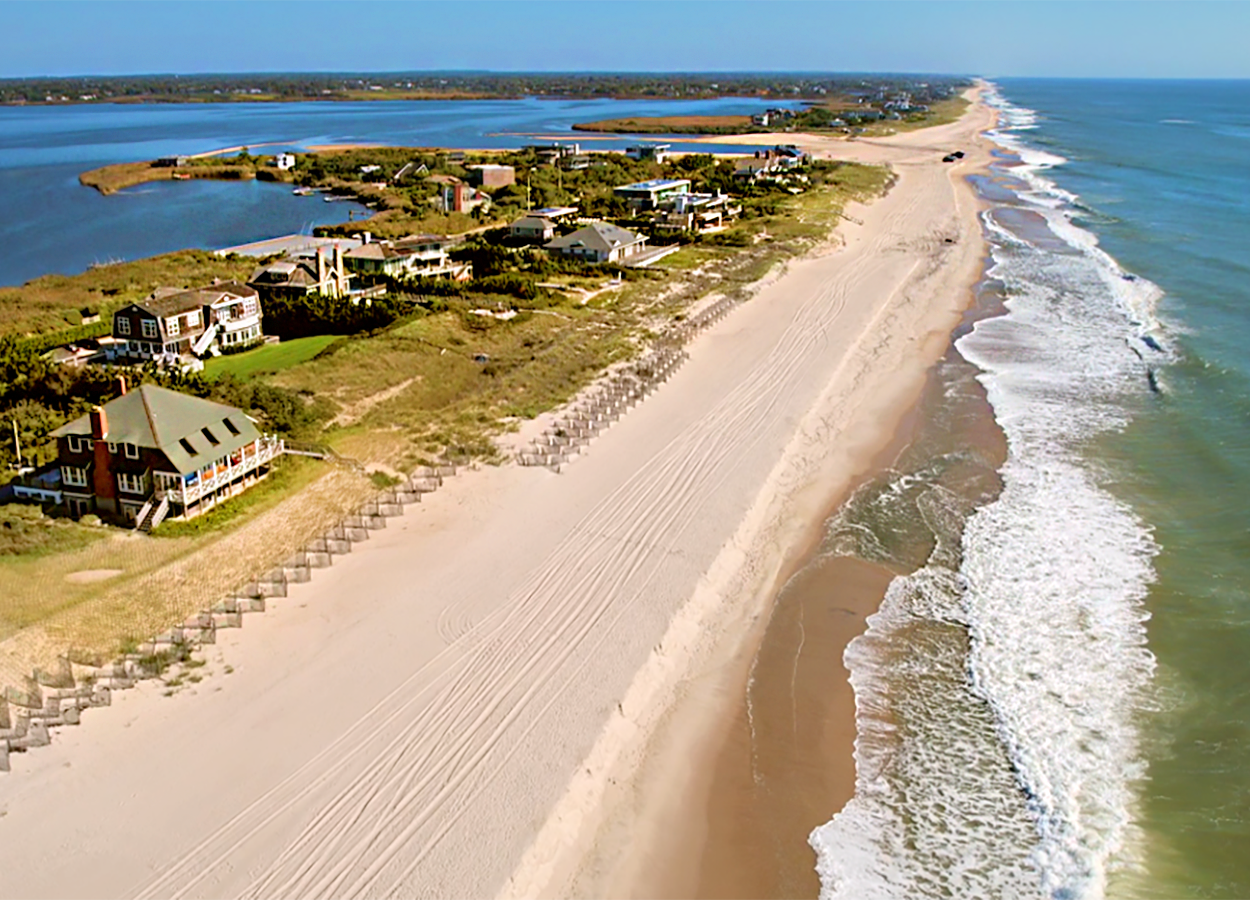
As the before and after photos show, Bogue Banks today has a much healthier beach; property owners have not had to rebuild dune walkovers or scrape the beach each year; and new vegetation is stabilizing the foredune. The plan that CSE laid out for Bogue Banks in 1999 has stood the test of time. Over 85 percent of the nourishment volumes placed between 2001 and 2007 along Pine Knoll Shores, Indian Beach/Salter Path, and Emerald Isle remained in place as of 2008.
CSE is proud to have played a central role in restoring the Bogue Banks beach, reducing storm damages, and enhancing the tax base of three municipalities on the island. We thank county officials and citizens of Bogue Banks for their support over the past decade.

