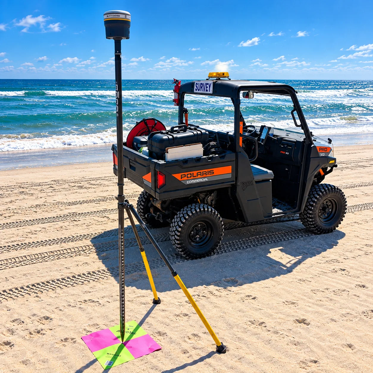
Tools That Drive Coastal Innovation
CSE's equipment isn't just gear — it's how we measure, model, and protect vulnerable shorelines. From hydrographic surveys to real-time wave sensors, our hands-on tools bring science to the sand.
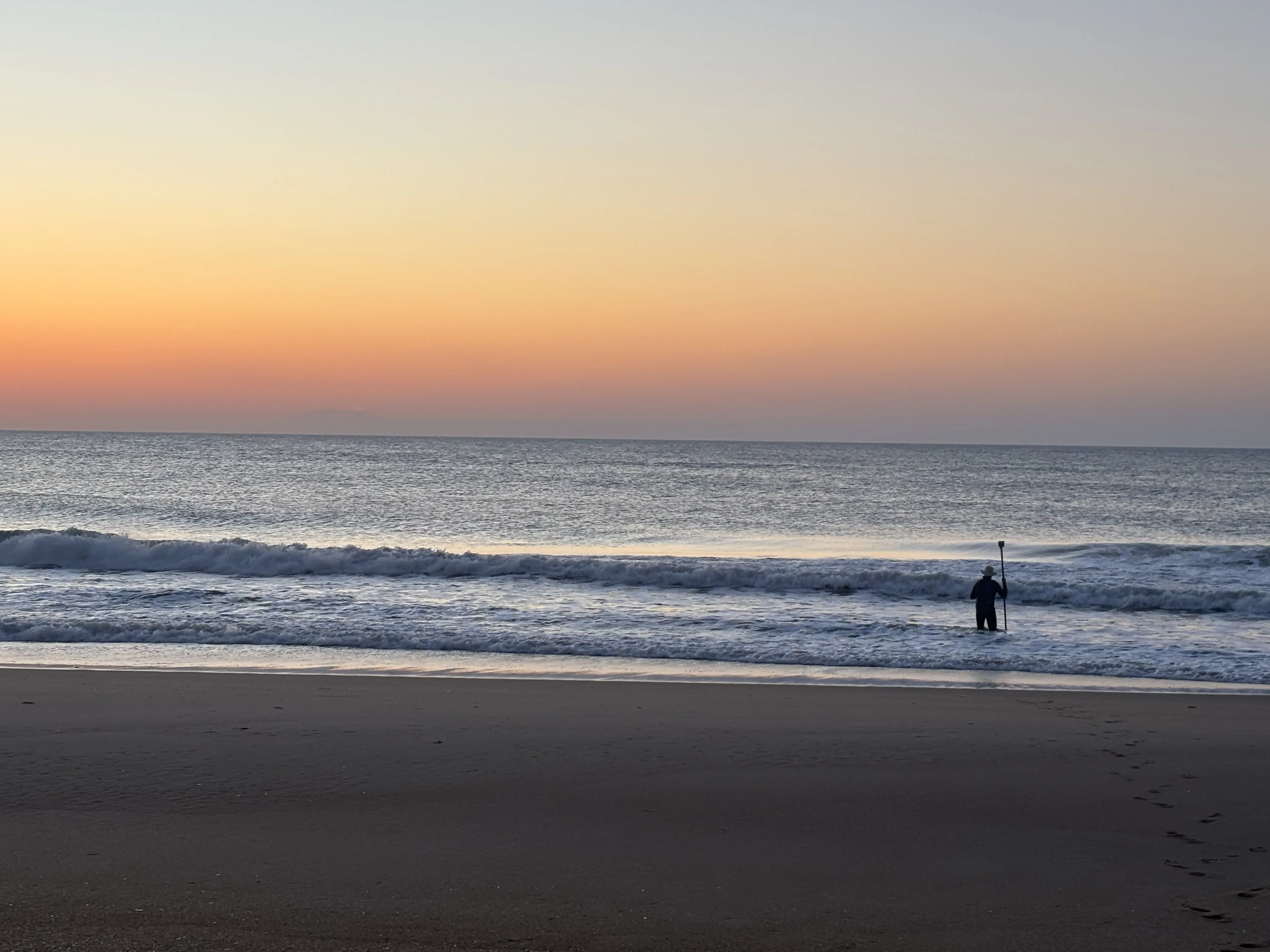
Purpose-Built Tools for Real-World Coastal Conditions
Whether we're measuring wave heights offshore or modeling sediment transport in complex estuaries, our team uses specialized equipment designed for the demands of coastal science.
Surveying & Monitoring
Advanced surveying and monitoring technologies are deployed to deliver high-precision coastal data from dunes to offshore waters. Trimble® RTK-GNSS receivers, motion-compensated bathymetric systems, and shallow-water echo sounders capture centimeter-level topographic and hydrographic measurements. Integrated HYPACK®, GIS, and modeling workflows support rigorous QA/QC, enabling accurate shoreline monitoring, sediment analysis, and engineering design that advances resilient, data-driven coastal management solutions.
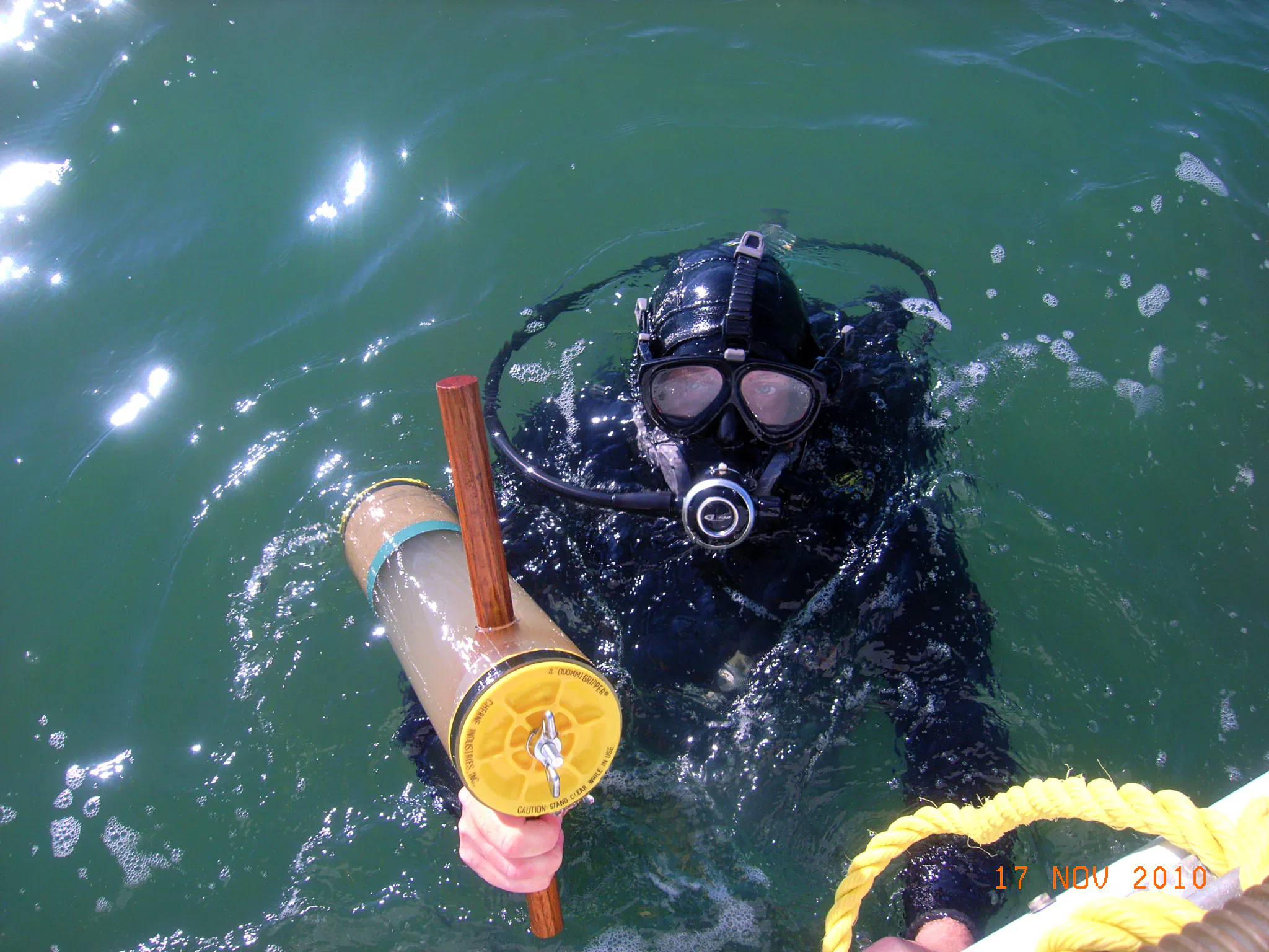
Sediment & Core Sampling
CSE conducts detailed sediment and core sampling to characterize beach and offshore sand resources for coastal engineering projects. Proprietary coring systems recover intact subsurface cores, which are logged by a professional geologist, photographed, archived, and analyzed for grain-size distribution. Rigorous laboratory processing and sieve analysis define sediment compatibility, stratigraphy, and borrow-area suitability—providing the critical data foundation for nourishment design and sediment management planning.
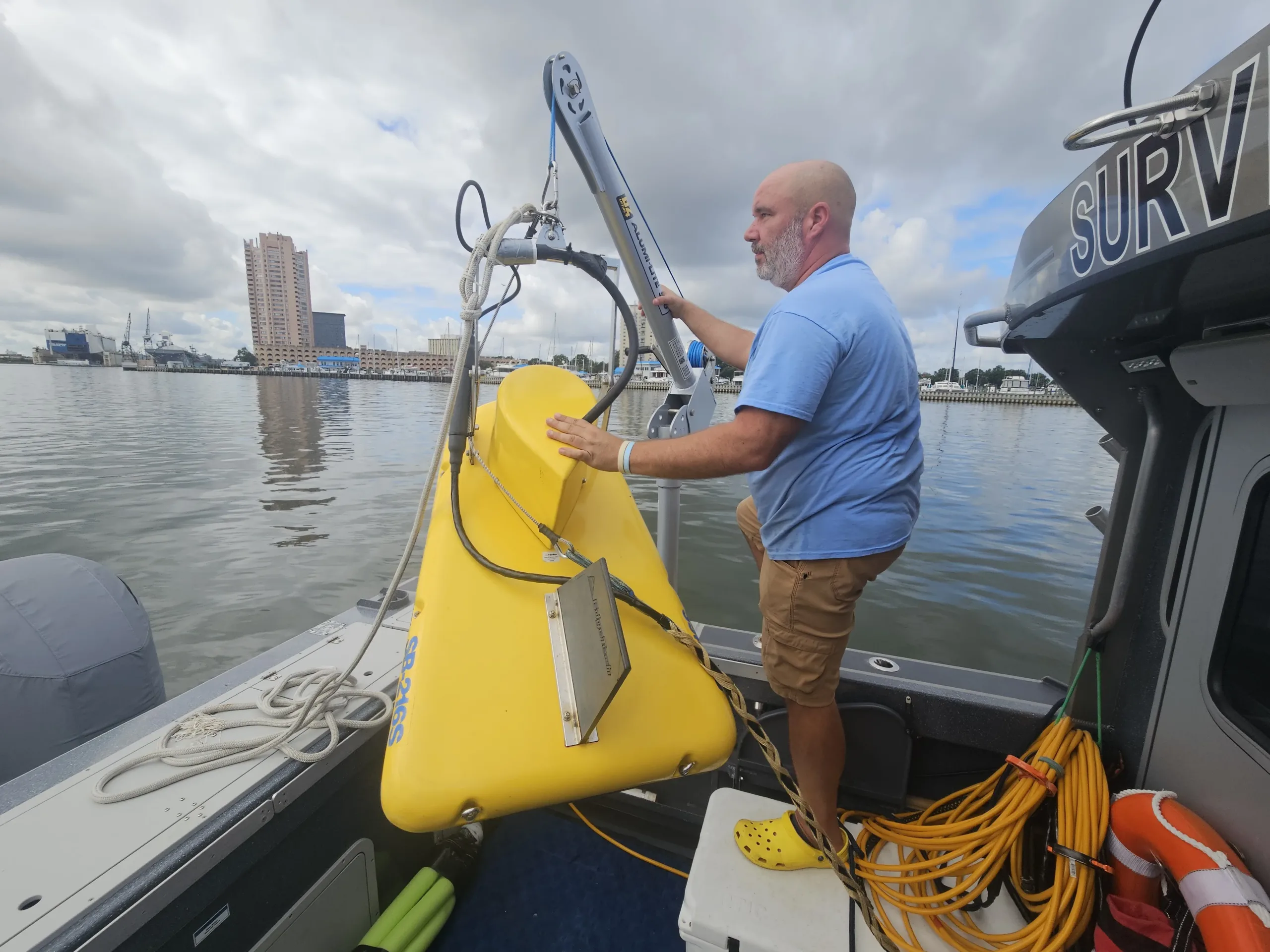
Hydrographic Tools
Advanced hydrographic tools are used to capture precise seabed and water-column data in dynamic coastal environments. Motion-compensated GNSS positioning, single-beam echo sounders, CTD profiling, and integrated navigation systems deliver high-resolution bathymetry and sound-velocity calibration. These technologies enable accurate mapping of nearshore morphology, sediment pathways, and dredging volumes—providing a reliable data foundation for coastal engineering, restoration design, and shoreline management.
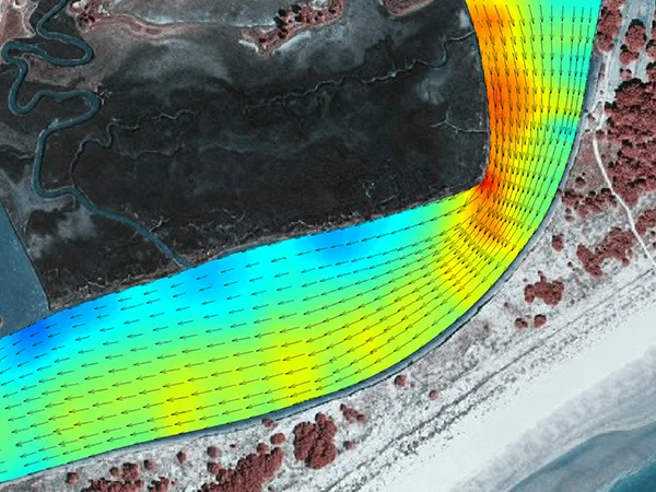
Modeling & Simulation
Advanced numerical modeling is applied to predict shoreline evolution, storm response, and sediment transport under changing coastal conditions. Industry-standard tools—including USACE-approved GENESIS and SBEACH and the Delft3D and XBeach modeling suites—simulate longshore transport, beach profile change, and storm-driven impacts. These simulations evaluate nourishment strategies and coastal structures, enabling optimized designs and resilient, long-term shoreline management solutions.
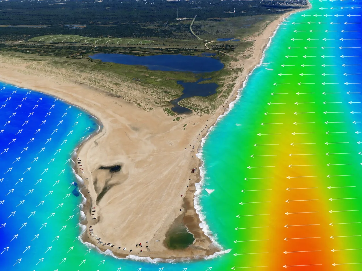
Tidal & Wave Analysis
CSE combines advanced instrumentation and statistical analysis to quantify tides, waves, and coastal water levels. High-precision gauges, ADCP current meters, and RTK-GNSS positioning capture detailed time-series measurements of tides, waves, and currents. These data are analyzed to define local sea levels, wave climates, and hydrodynamic conditions—providing the scientific foundation for coastal modeling, shoreline design, and resilient engineering solutions.
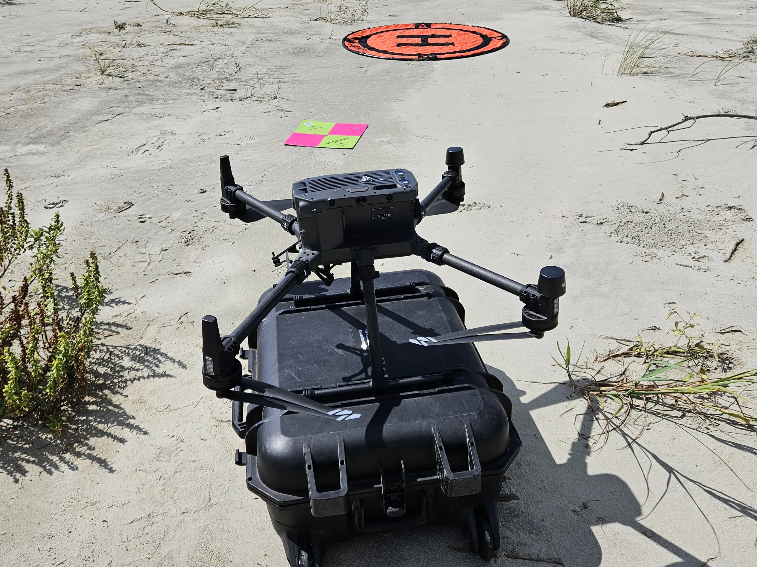
Specialized Field Gear
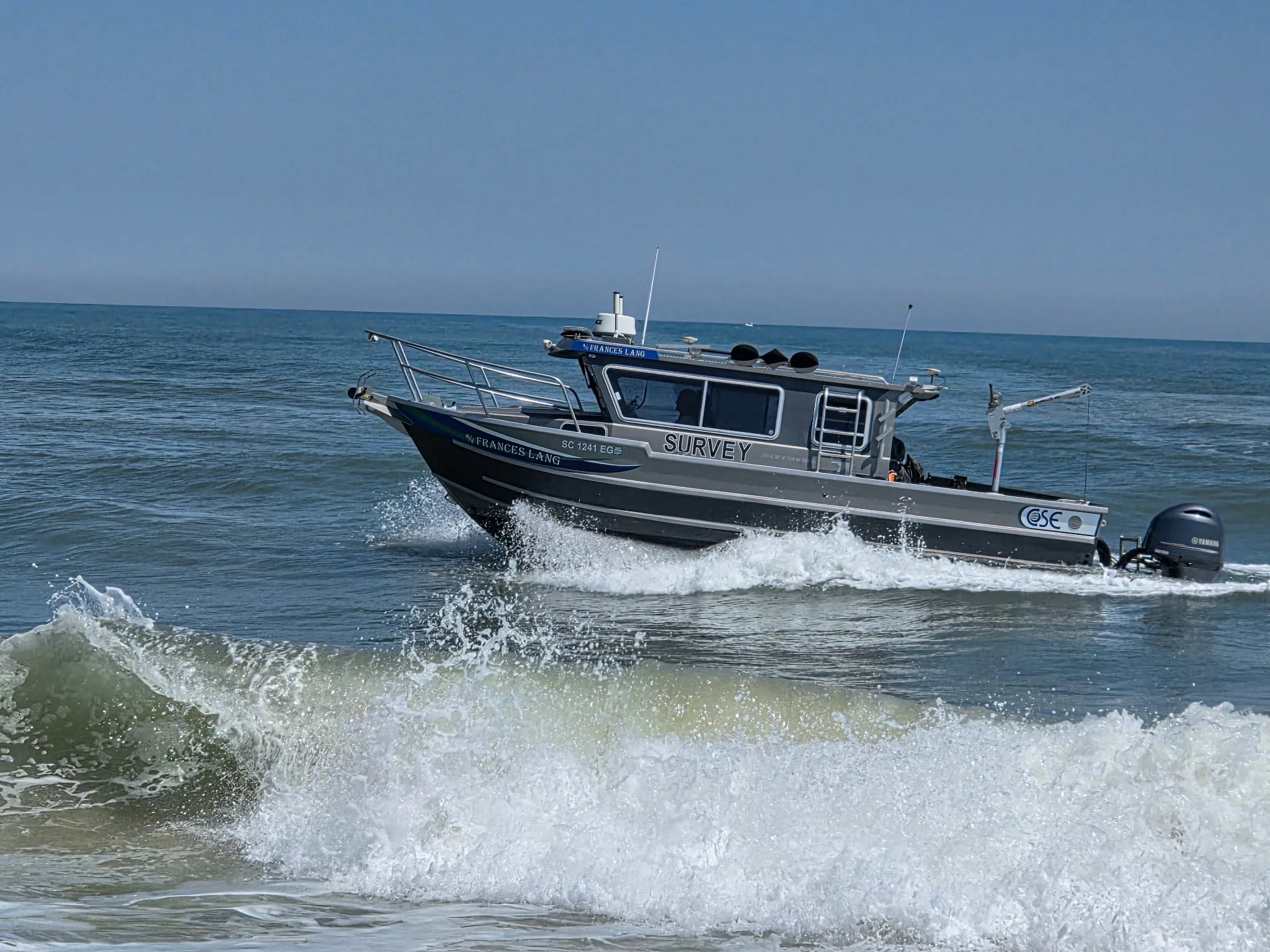
Specialized marine and beach vehicles support efficient coastal data collection across offshore and shoreline environments. The R/V Southern ECHO, a 24-ft shallow-draft aluminum survey vessel, and the R/V Frances Lang, a 26-ft Duckworth offshore aluminum pilothouse boat powered by twin outboards, provide stable platforms for hydrographic surveys from offshore waters into the surf zone. Onshore, four-wheel-drive UTVs transport crews and instruments between transects, enabling safe, rapid field operations along dynamic coastlines.
Featured Field Equipment
Explore our high-performance tools used in real shoreline restoration and monitoring projects.
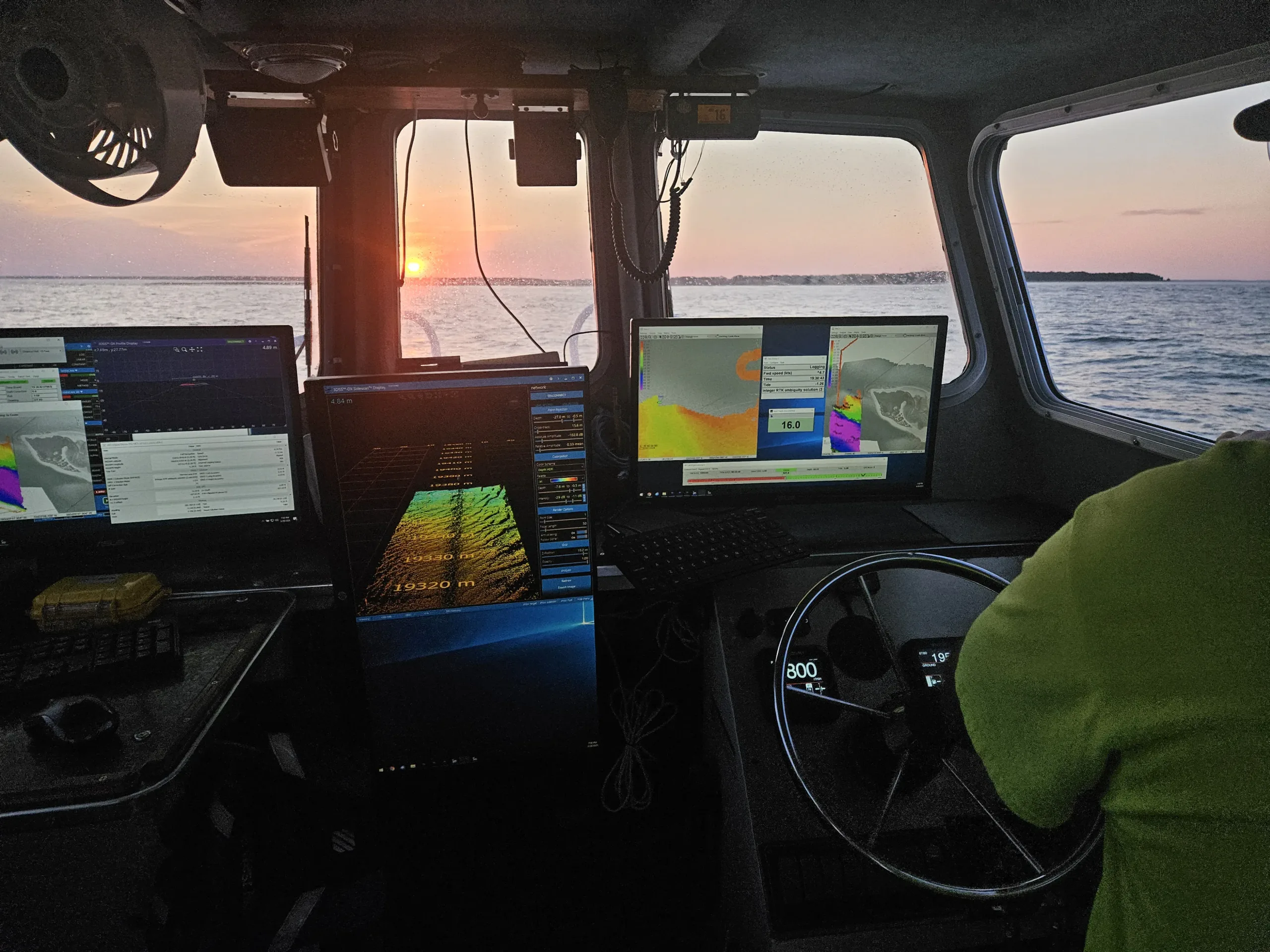
Hydrographic Survey Equipment
Advanced sonar systems and GPS technology for precise underwater mapping.
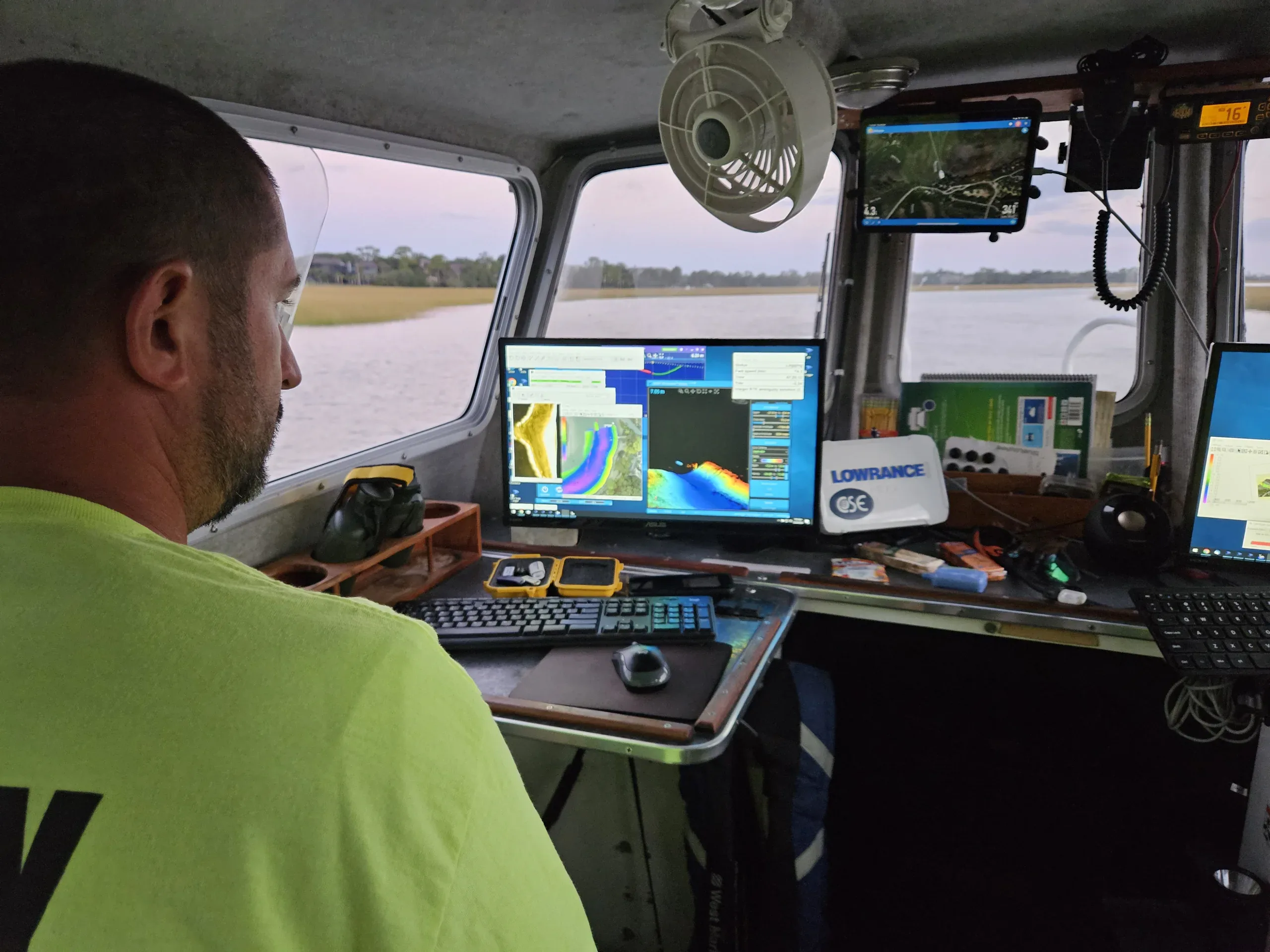
Wave Monitoring Sensors
Real-time wave height and frequency monitoring for coastal engineering.
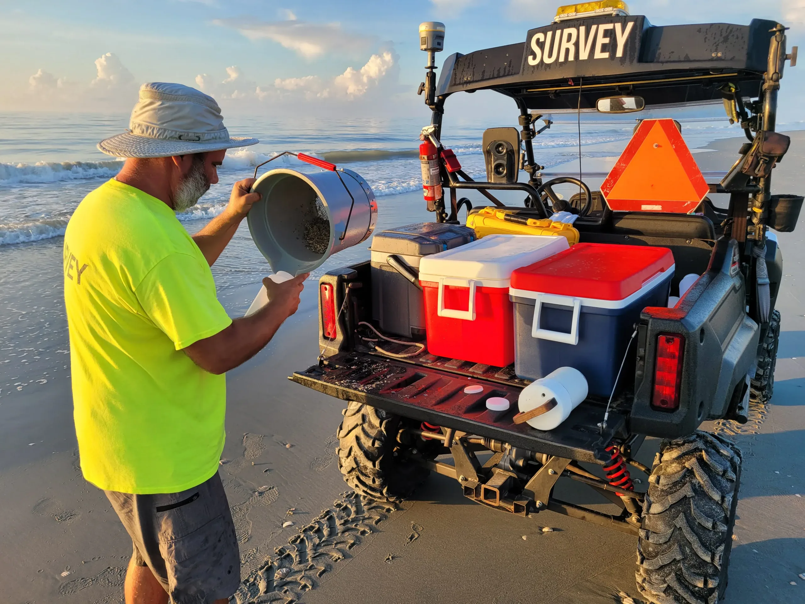
Sediment Analysis Tools
Professional-grade equipment for analyzing sand composition and transport patterns.
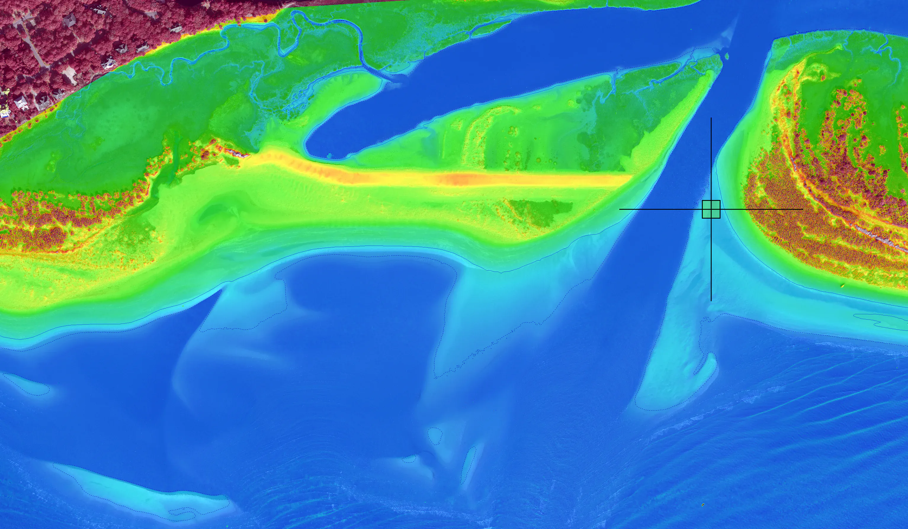
Erosion Monitoring Systems
High-precision tools for tracking shoreline changes over time.
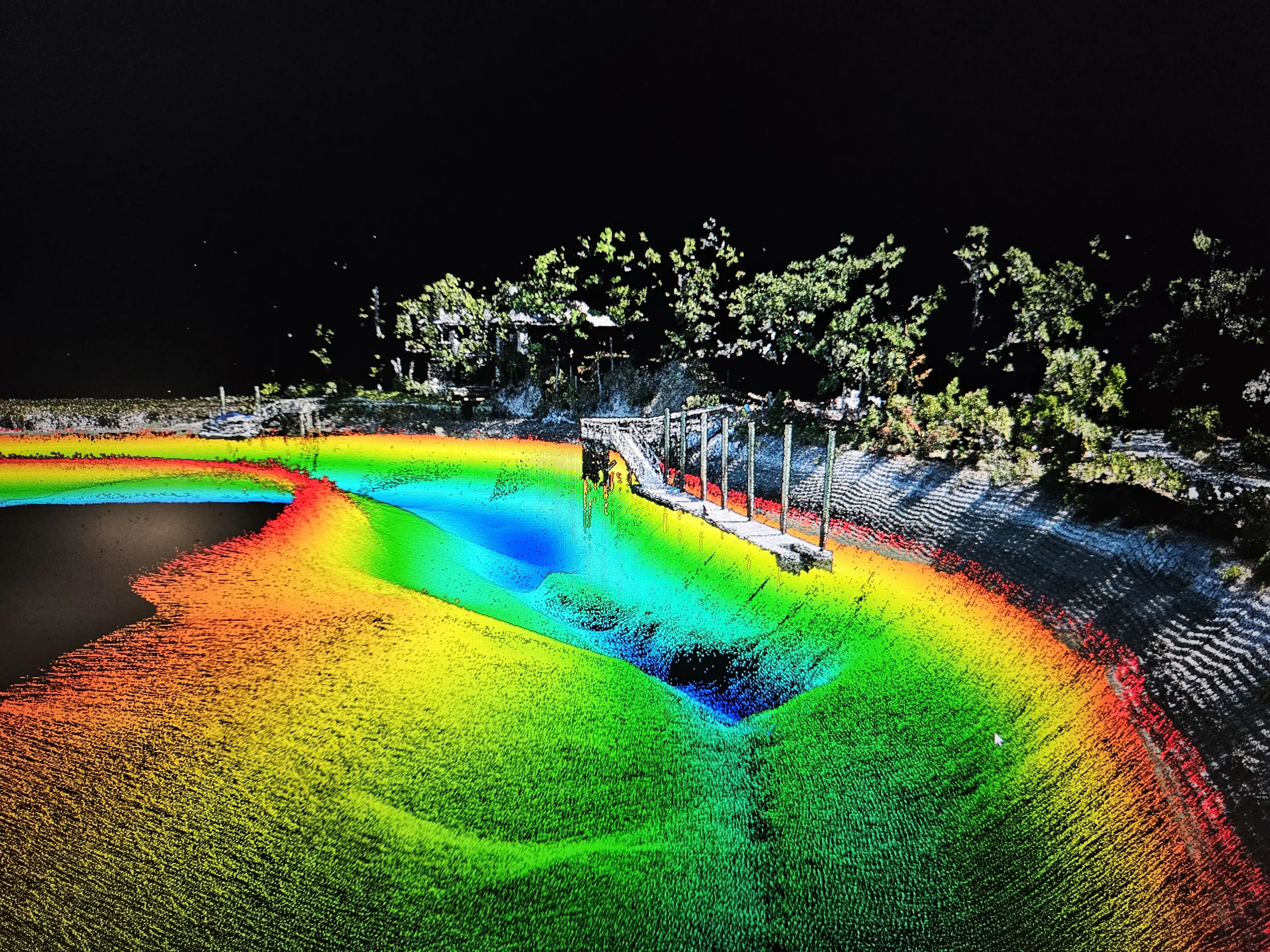
Survey and Monitoring
Discover Our Solutions
Our tools are only as powerful as the people behind them. See how our coastal scientists and engineers turn measurements into meaningful shoreline solutions.