Mapping Underwater Environments

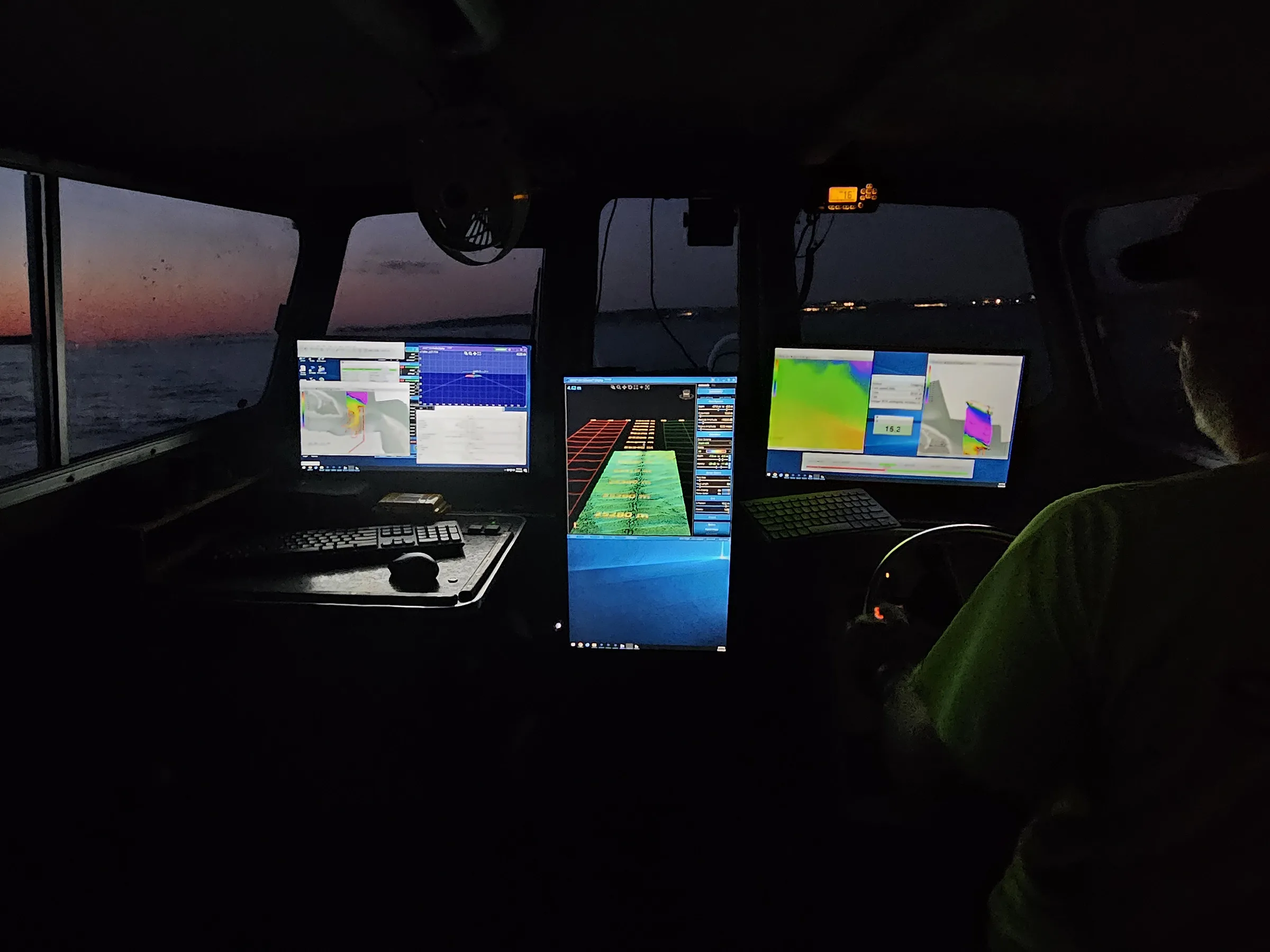
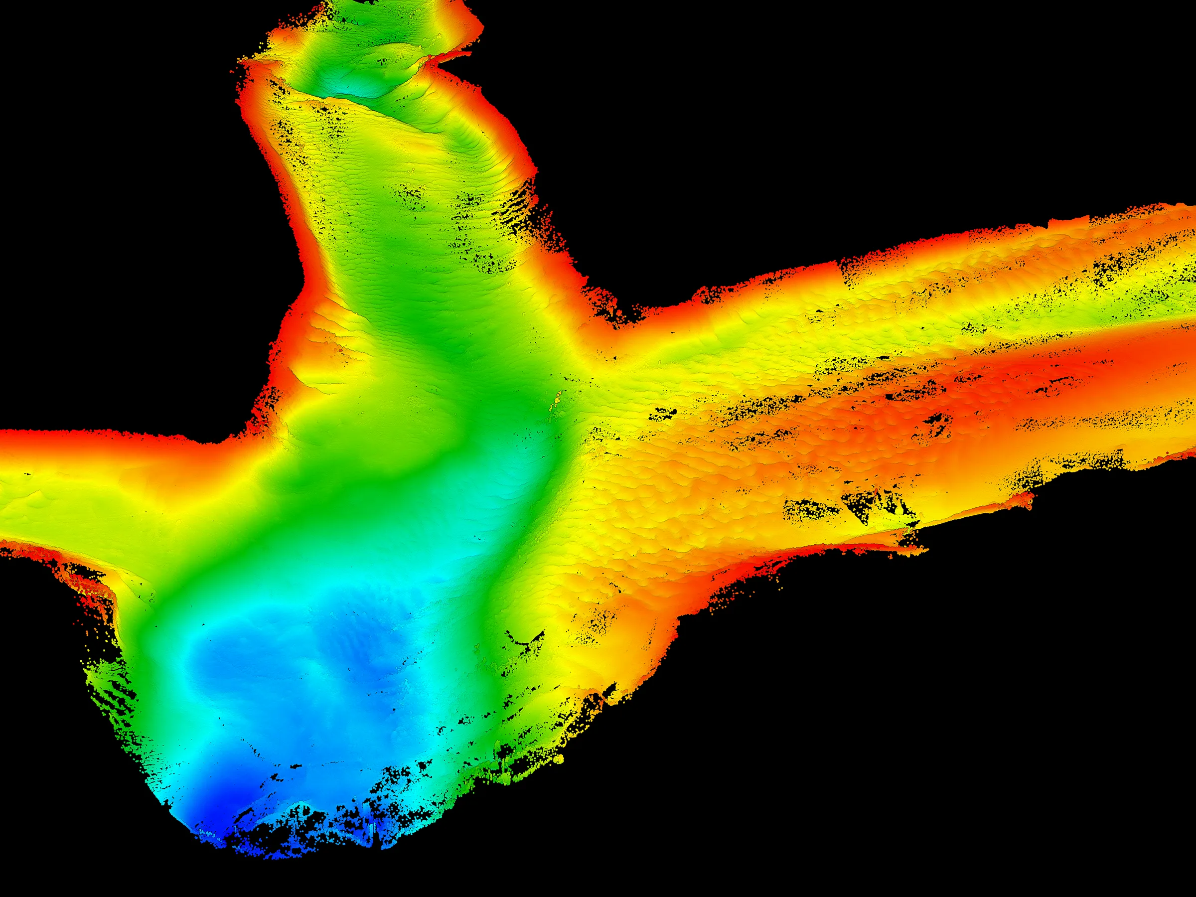
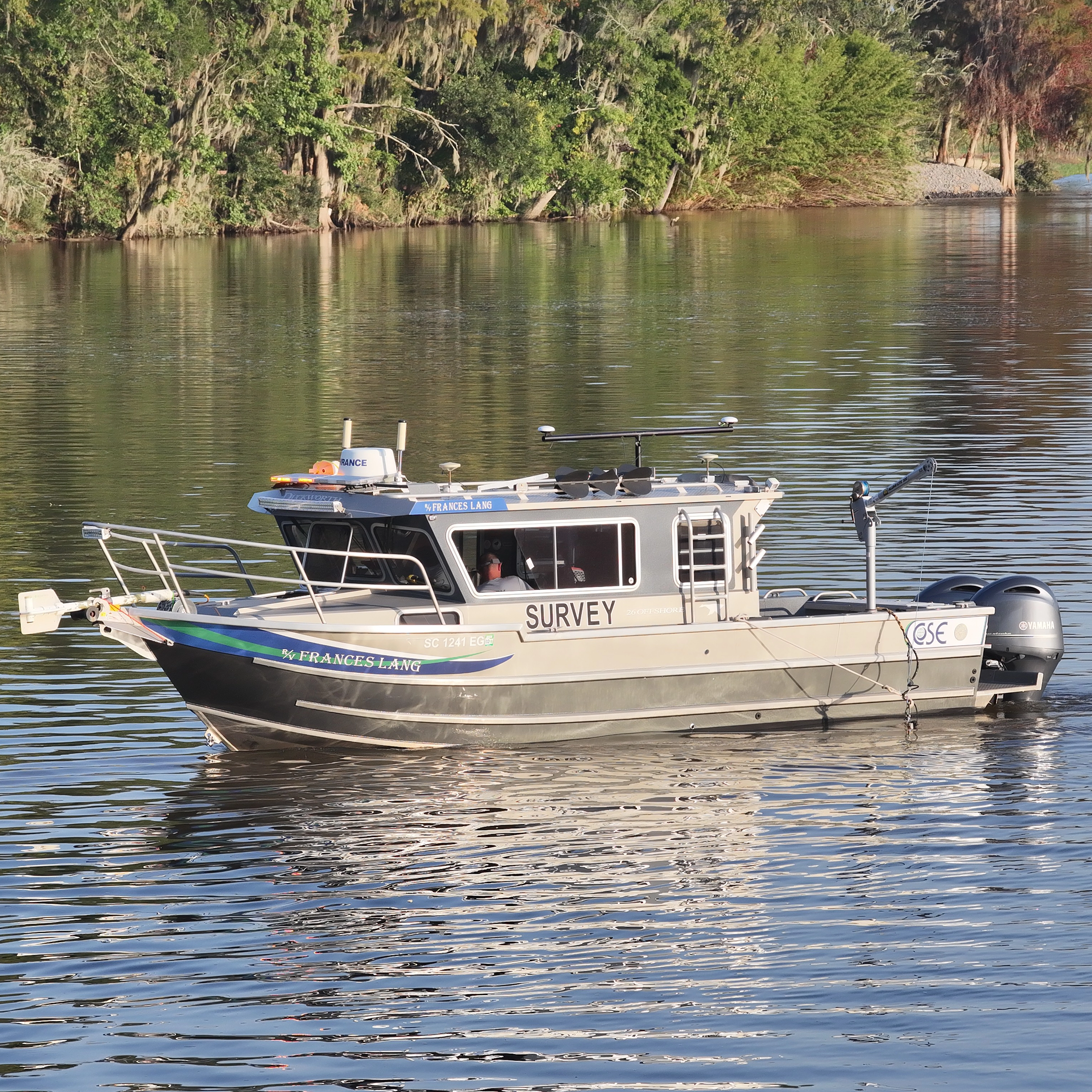
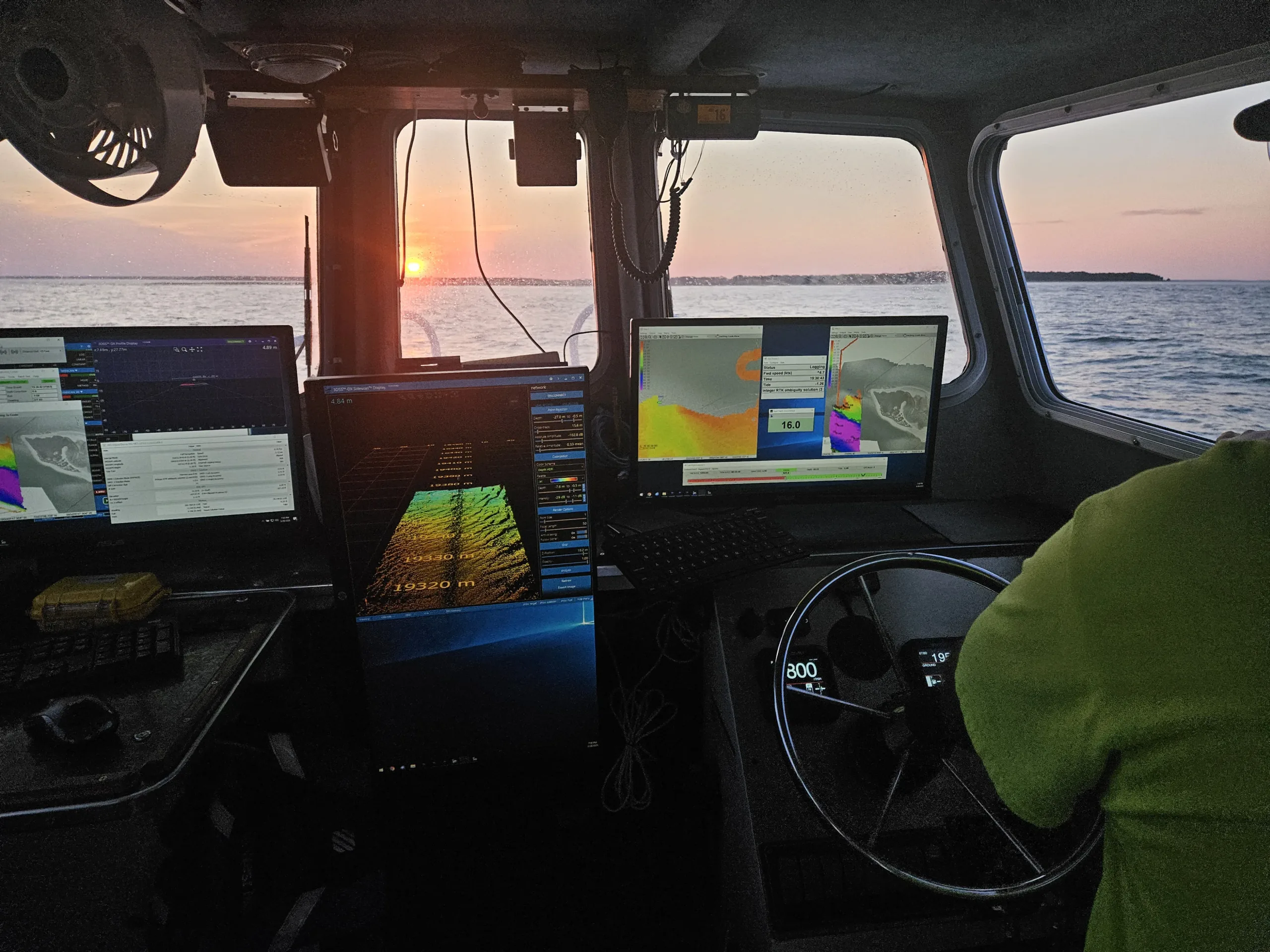
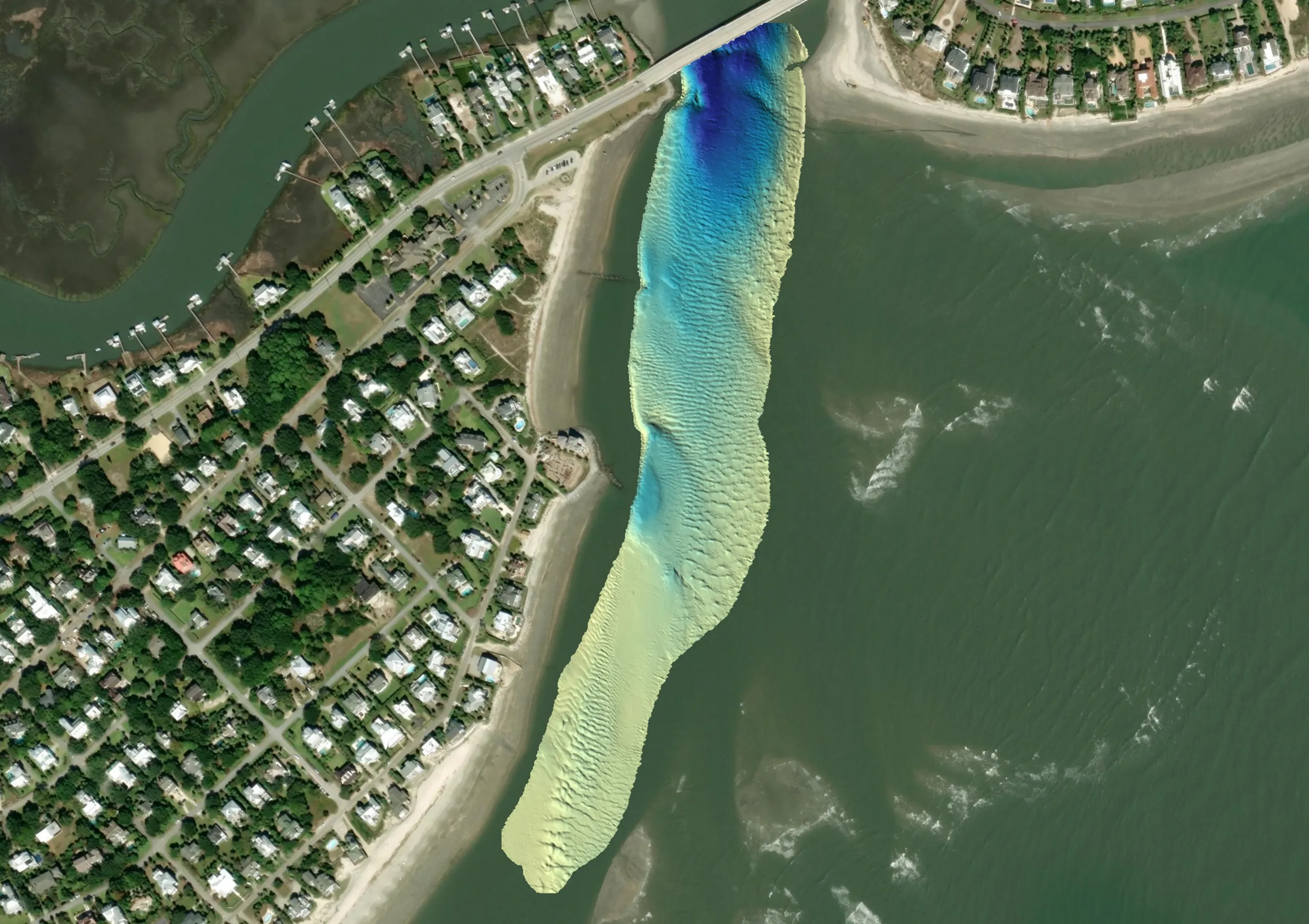
Hydrographic surveying goes beyond measuring water depths — it reveals the underwater conditions that shape successful projects. CSE combines single beam and multibeam sonar, precise positioning, and specialized expertise to map bathymetry, submerged features, and changing underwater environments.

From waterways and nearshore areas to offshore sites, our surveys support beach nourishment, dredging, sediment investigations, marine infrastructure, cultural resource studies, and monitoring to deliver accurate, actionable data for informed planning, permitting, and design.

Hydrographic Survey overview image

A Strategic Approach to Hydrographic Surveying

Every survey begins with a clear understanding of project goals, site conditions, and regulatory considerations. We tailor the survey approach and technologies to efficiently collect the right data—building a reliable foundation for engineering, environmental review, permitting, and project decisions.
A Strategic Approach to Hydrographic Surveying

Capture Depth & Detail

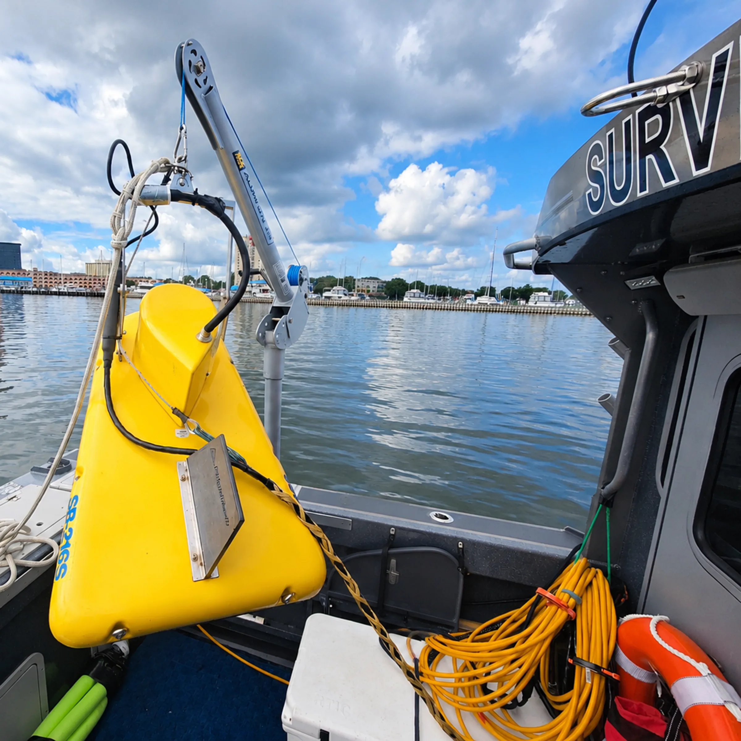
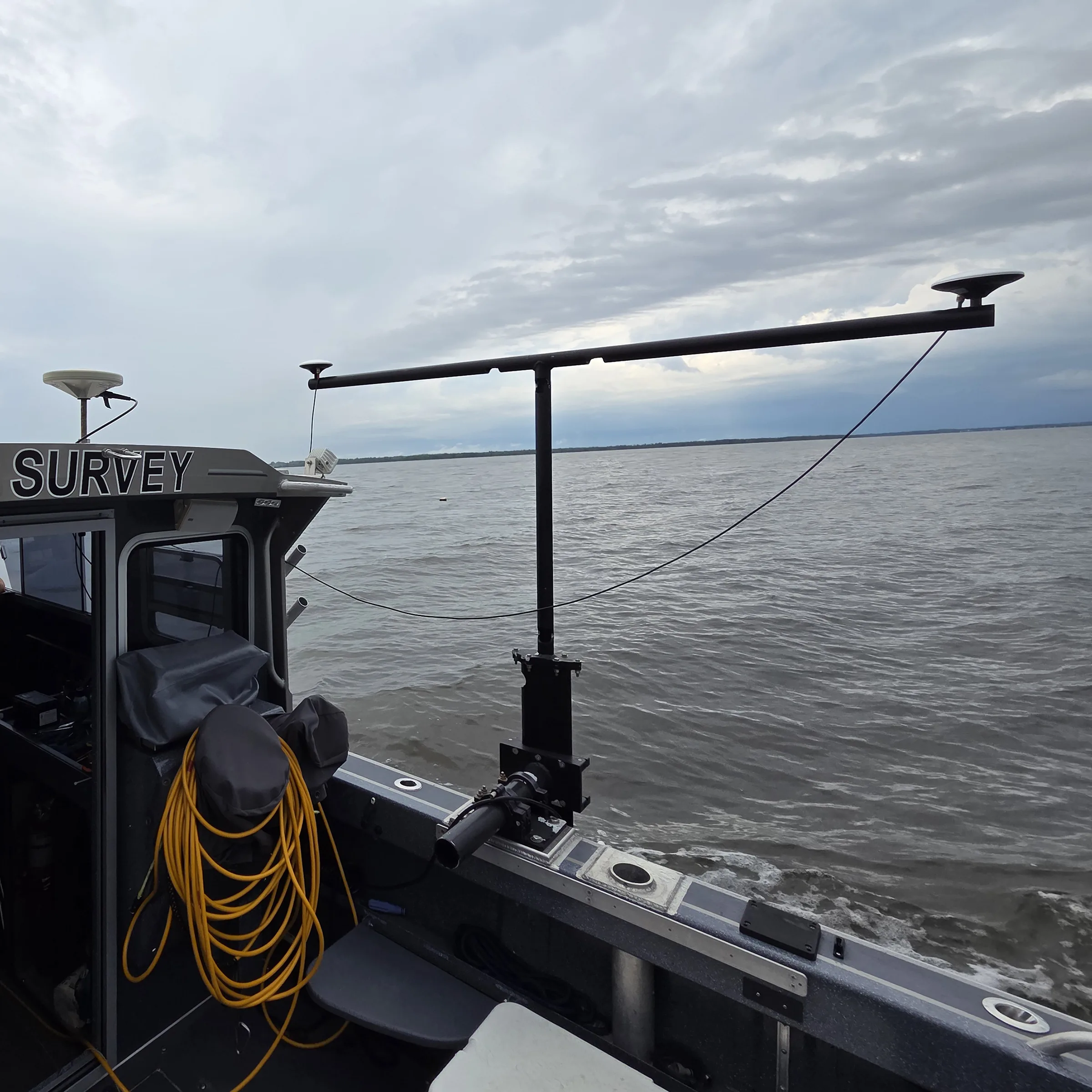
Single-beam and multibeam sonar combined with precise GNSS/INS positioning provide accurate bathymetric coverage to define water depths, contours, and submerged features across diverse aquatic environments.

Capture Depth & Detail

Investigate Below & Beyond

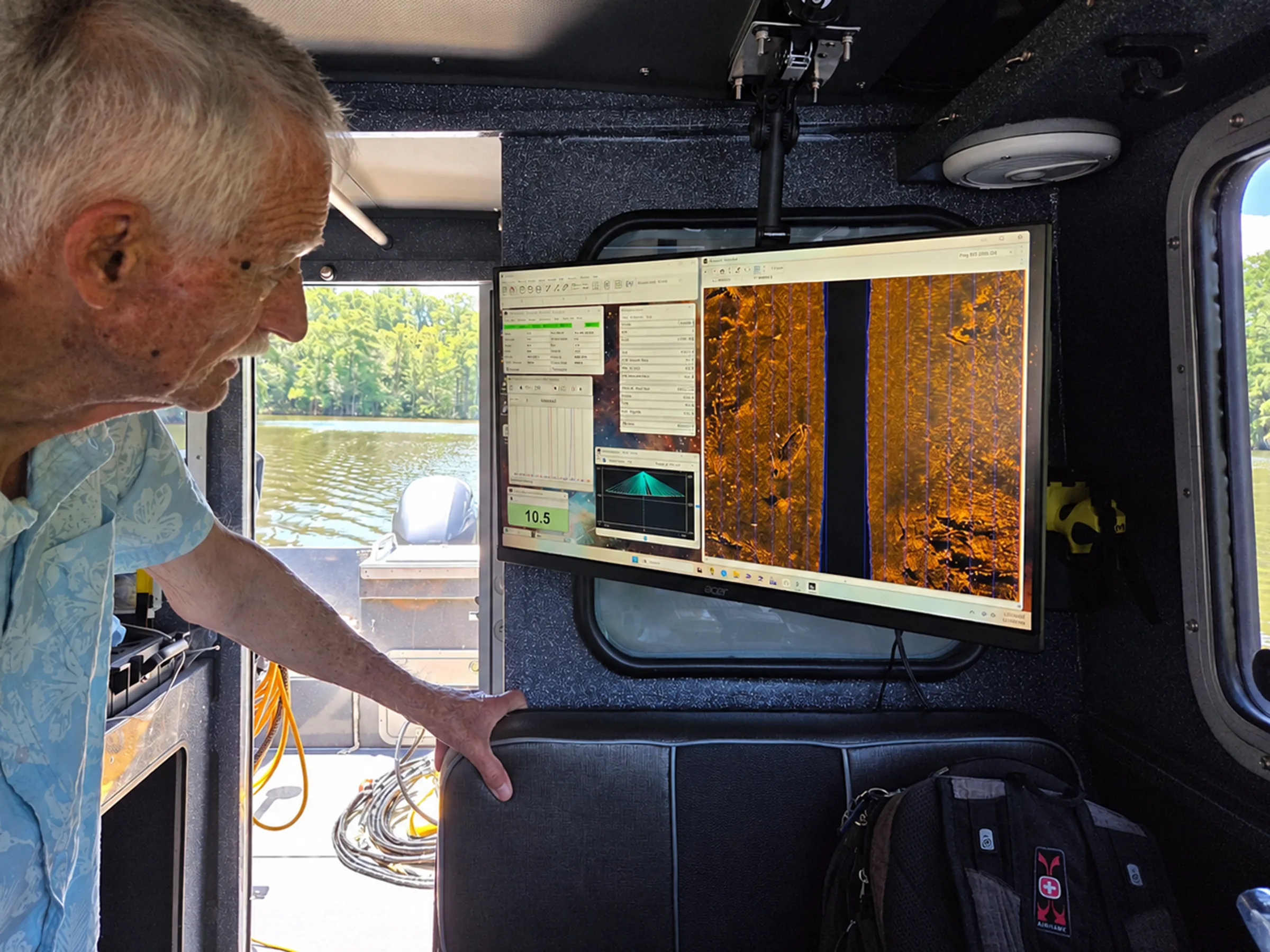
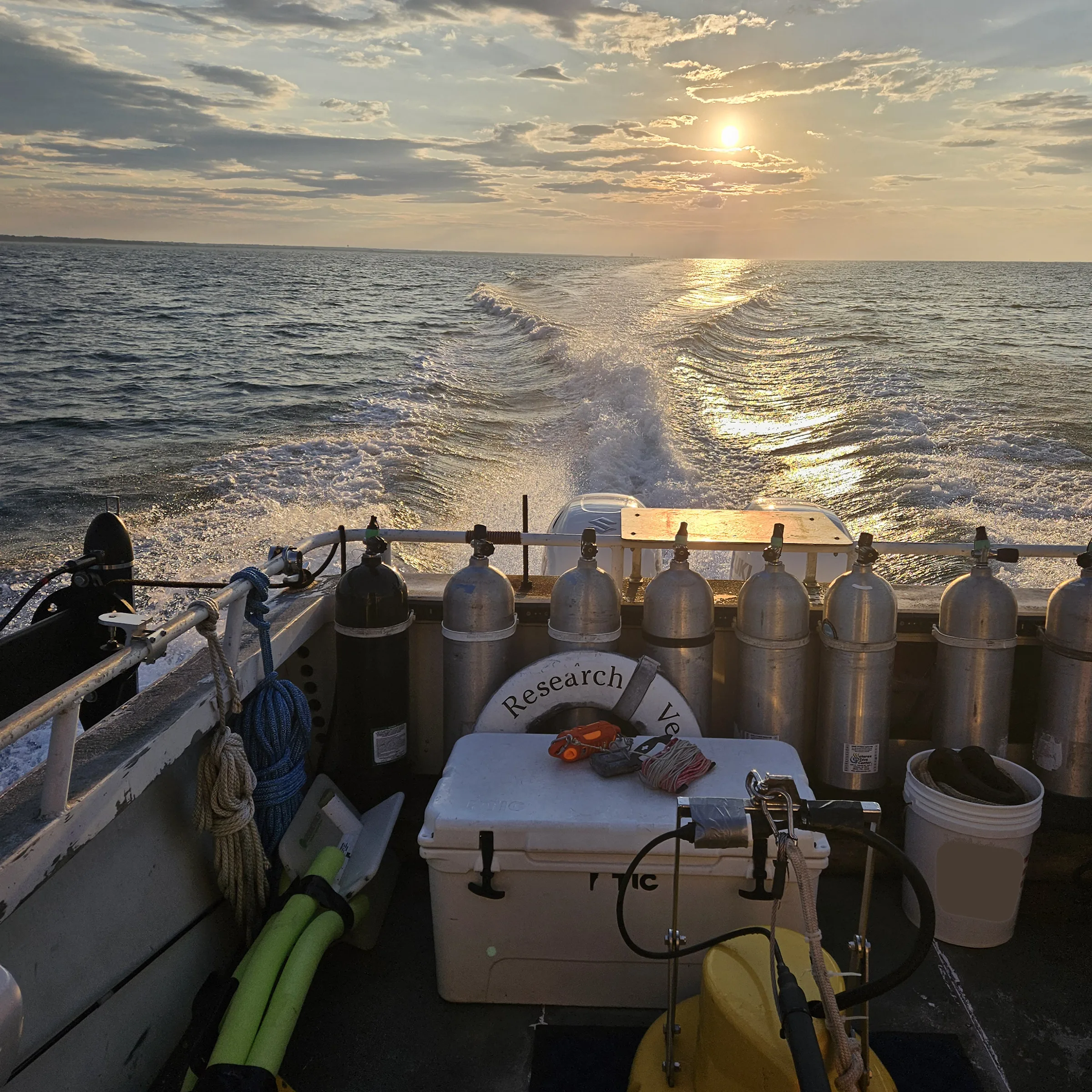
Sub-bottom profiling, sidescan sonar, and magnetometry extend the investigation beyond bathymetry—revealing shallow sediment layers and identifying submerged or buried objects, obstructions, and potential cultural resources.

Investigate Below & Beyond

Integrate & Interpret

Multiple datasets are processed, quality-controlled, mapped, and analyzed together to develop a comprehensive understanding of underwater conditions and identify features requiring further investigation or avoidance.

Integrate & Interpret

Turn Data Into Direction

Survey findings become clear maps, models, and technical deliverables that support engineering design, sediment resource evaluation, permitting, cultural resource coordination, construction planning, and long-term monitoring.

Turn Data Into Direction

More Coastal Solutions

Discover our comprehensive suite of coastal engineering services designed to protect and preserve shorelines.