Buxton, NC
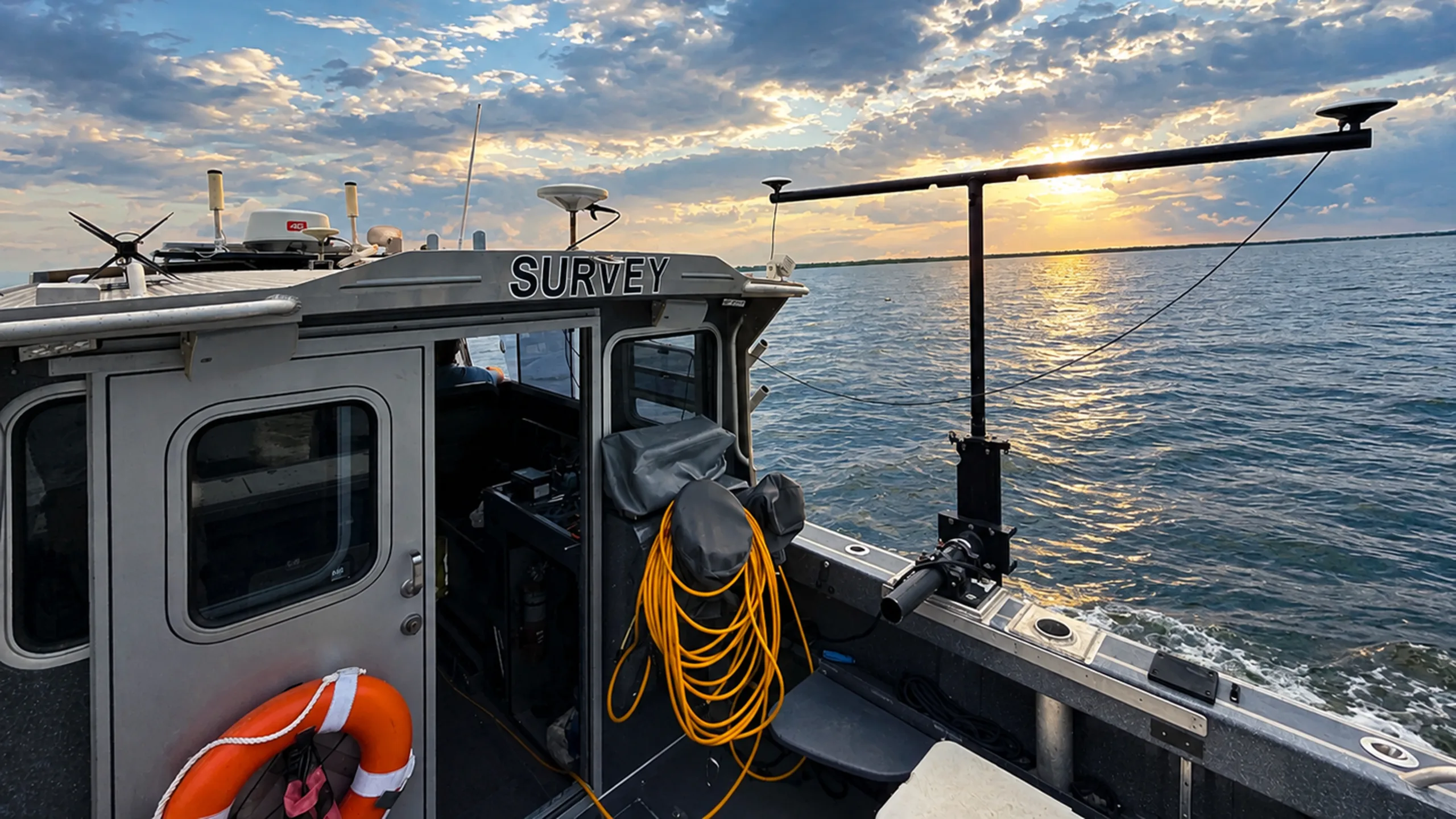
Advanced hydrographic and geophysical surveying mapped 4,742 acres of offshore seafloor to identify potential sand resources and support future beach nourishment at Buxton.
At a Glance
CSE conducted a 4,742-acre offshore investigation to evaluate sand resources for future nourishment along Hatteras Island. Integrated hydrographic and geophysical surveying mapped seafloor conditions, subsurface geology, and potential environmental and cultural resources, supporting Dare County’s long-term sediment management strategy.
Finding Future Sand Beyond State Waters
Recurring nourishment at Buxton requires a reliable supply of beach-compatible sand, but previous resources were identified largely on a project-by-project basis. Expanding the search into federal waters required detailed mapping of offshore conditions, along with BOEM coordination and consideration of environmental and submerged cultural resources. The challenge was to efficiently investigate a large offshore area and generate defensible data to guide future sediment sampling and borrow-area development.
Mapping the Seafloor from Multiple Perspectives
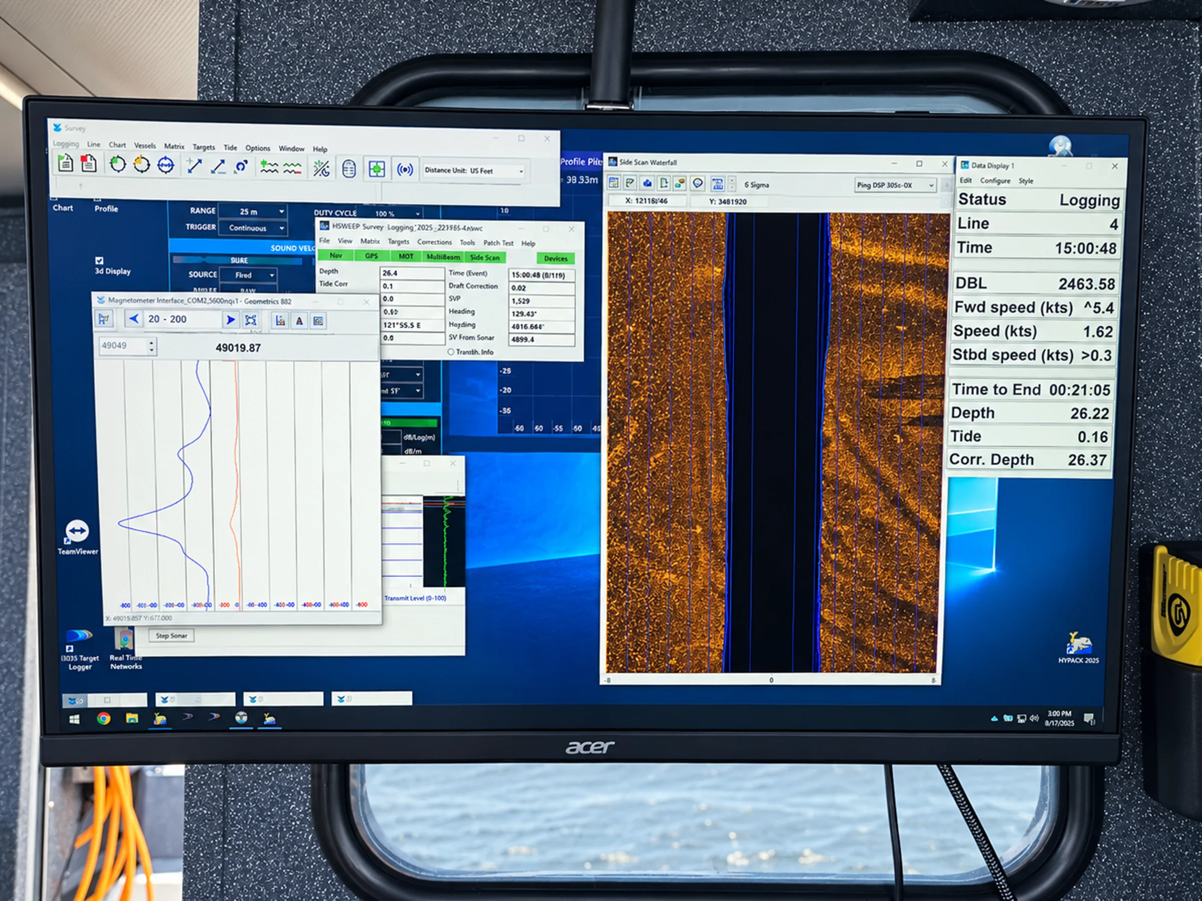
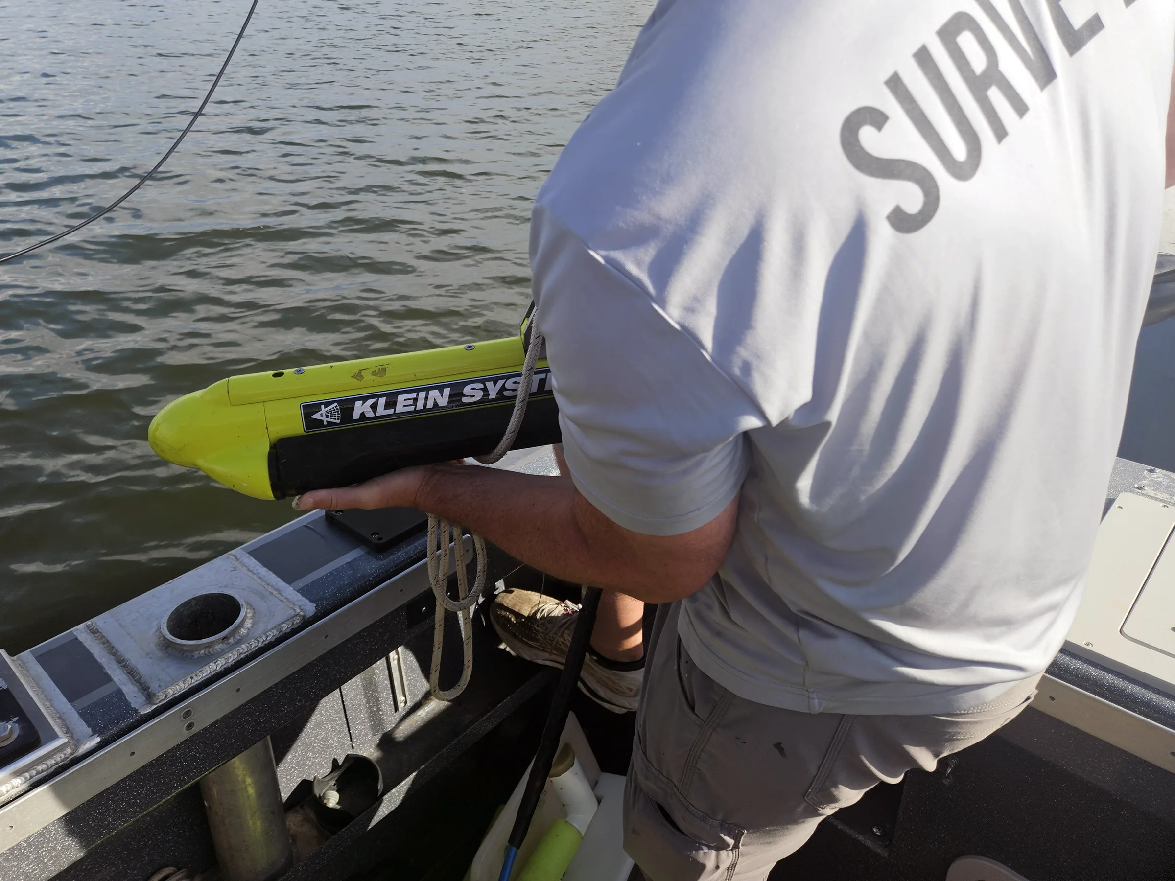
CSE conducted an integrated geophysical investigation using multibeam sonar, sub-bottom profiling, sidescan sonar, and magnetometry. Survey lines spaced at 100 feet, combined with precise GNSS/INS positioning, mapped bathymetry and seafloor features, characterized subsurface sediment layers, and identified potential cultural resources and other features requiring avoidance.

Building the Foundation for Future Nourishment
The 4,742-acre investigation created a detailed picture of offshore bathymetry, subsurface geology, and potential constraints within a prospective sand-resource area. The resulting data provide the technical foundation for targeting future sediment sampling, evaluating beach-compatible material, and advancing federal coordination for future borrow-area development. By investigating offshore resources at a larger scale, CSE is helping Dare County plan beyond a single nourishment cycle and build a more efficient, long-term sediment management strategy for Buxton.
"Understanding what lies beneath the seafloor is the first step toward securing future sand resources. Detailed hydrographic and geophysical data allow us to target the most promising areas and plan nourishment with greater confidence."

Patrick Barrineau
CSE/Project Manager
Explore More Hydrographic Survey Work
Head back to our projects to see everything under Hydrographic Survey.
Explore Hydrographic Survey