Deveaux Bank, SC
One of the most comprehensive bathymetric surveys of the North Edisto Inlet system mapped more than 20,000 acres, revealing sediment movement, shoal migration, and changing coastal habitat.
At a Glance
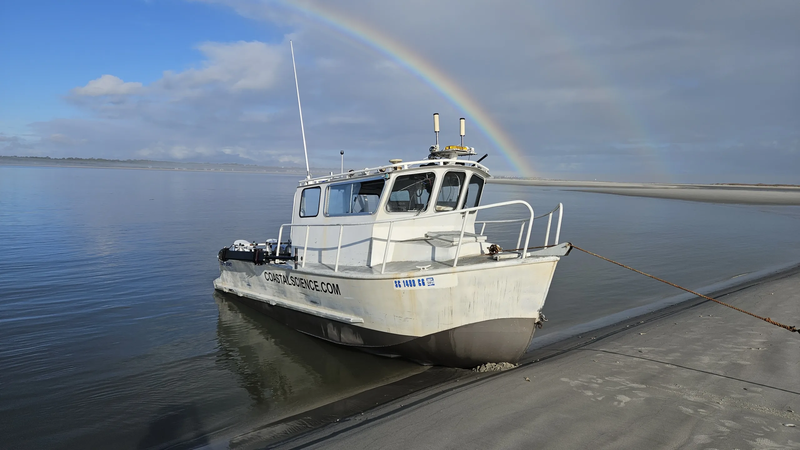
CSE conducted an extensive hydrographic investigation of Deveaux Bank and the North Edisto Inlet ebb-tidal delta to understand the processes driving rapid changes to critical shorebird habitat. Combining single-beam and multibeam sonar with aerial surveying, the study generated more than 22 million elevation observations and the first complete bathymetric survey with full bottom coverage around the entire ebb-tidal delta system.
Surveying a Complex, Dynamic Inlet
Deep channels, swift currents, breaking waves, and more than 2,000 acres of shallow water make the North Edisto Inlet system particularly challenging to survey. CSE needed to capture reliable elevations across both submerged and exposed portions of the system while accounting for tides, changing shoals, and difficult vessel conditions. The resulting data also needed to reveal how sediment movement was contributing to the decline of existing habitat and the emergence of a new shoal.
Integrating Single Beam & Multibeam Surveying
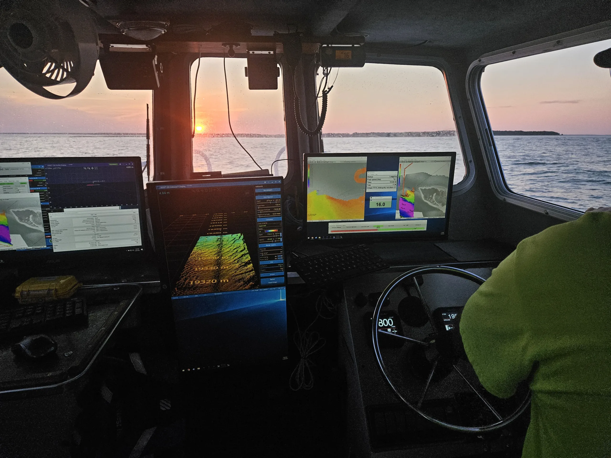
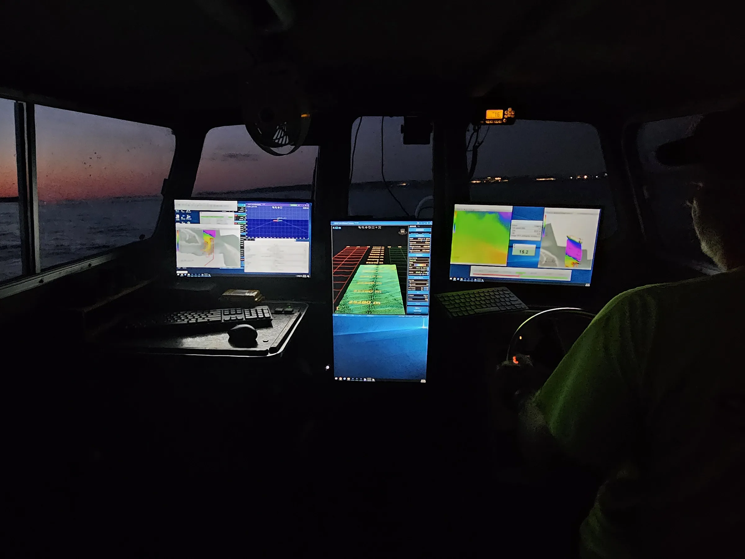
CSE combined single beam and multibeam sonar to map more than 20,000 acres of the inlet system, providing broad bathymetric coverage and high-resolution detail in critical areas. Repeat surveys and aerial data tracked migrating sand waves and connected submerged and exposed features, revealing the direction and rate of sediment transport and providing a comprehensive understanding of how sand moves throughout the inlet.
Understanding a Dynamic Inlet
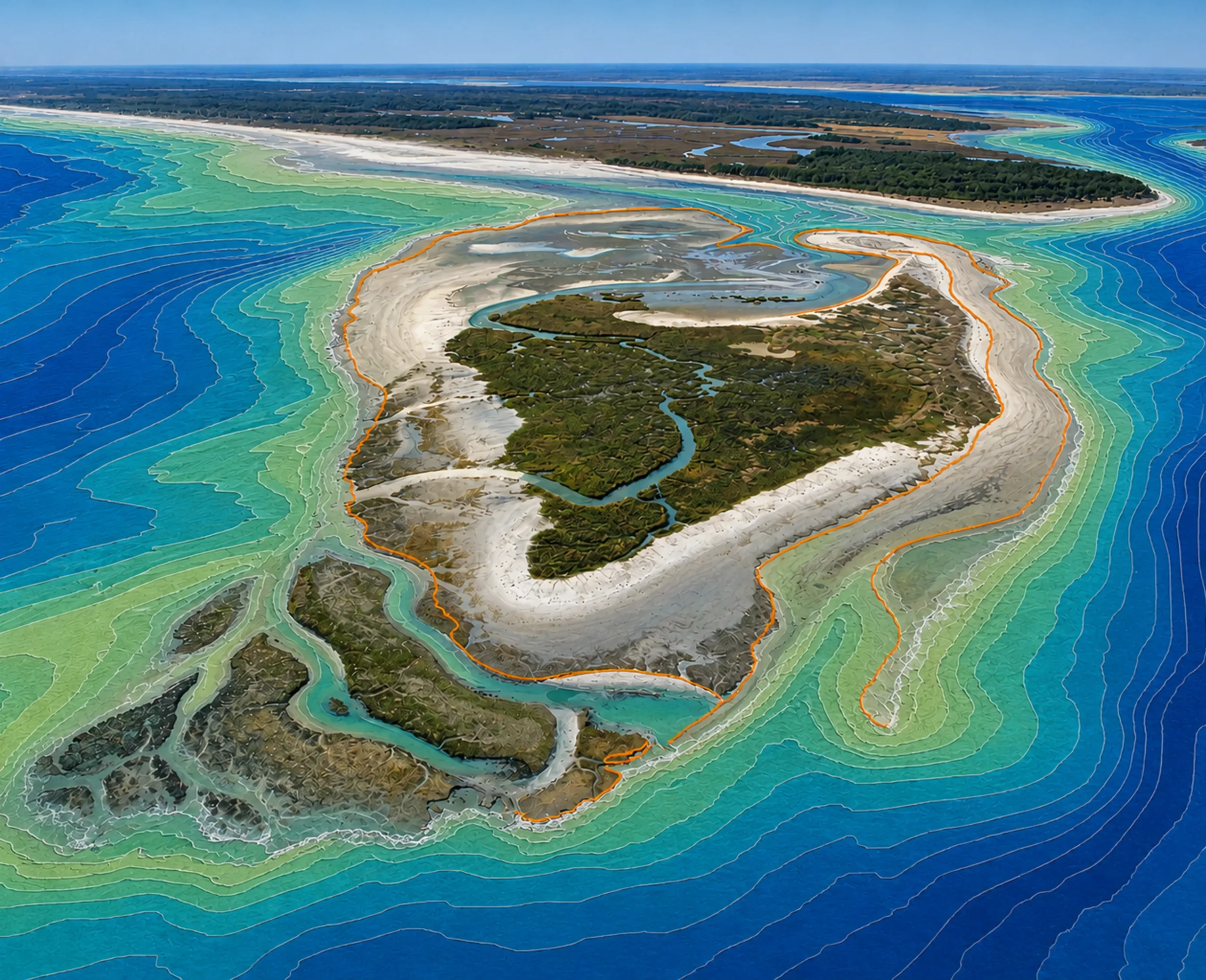
CSE’s survey documented approximately 165 million cubic yards of sediment within the ebb-tidal delta and tracked active sand movement through migrating bedforms and multibeam data. The findings provided a high-resolution baseline for understanding sediment transport, evaluating habitat restoration alternatives, and guiding future management of Deveaux Bank.
"By mapping what is happening below the waterline, we can better understand how sediment moves through the entire inlet system and use that knowledge to guide future management."

Steven Traynum
CSE/Project Manager
Explore More Hydrographic Survey Work
Head back to our projects to see everything under Hydrographic Survey.
Explore Hydrographic Survey