SC Department of Environmental Services
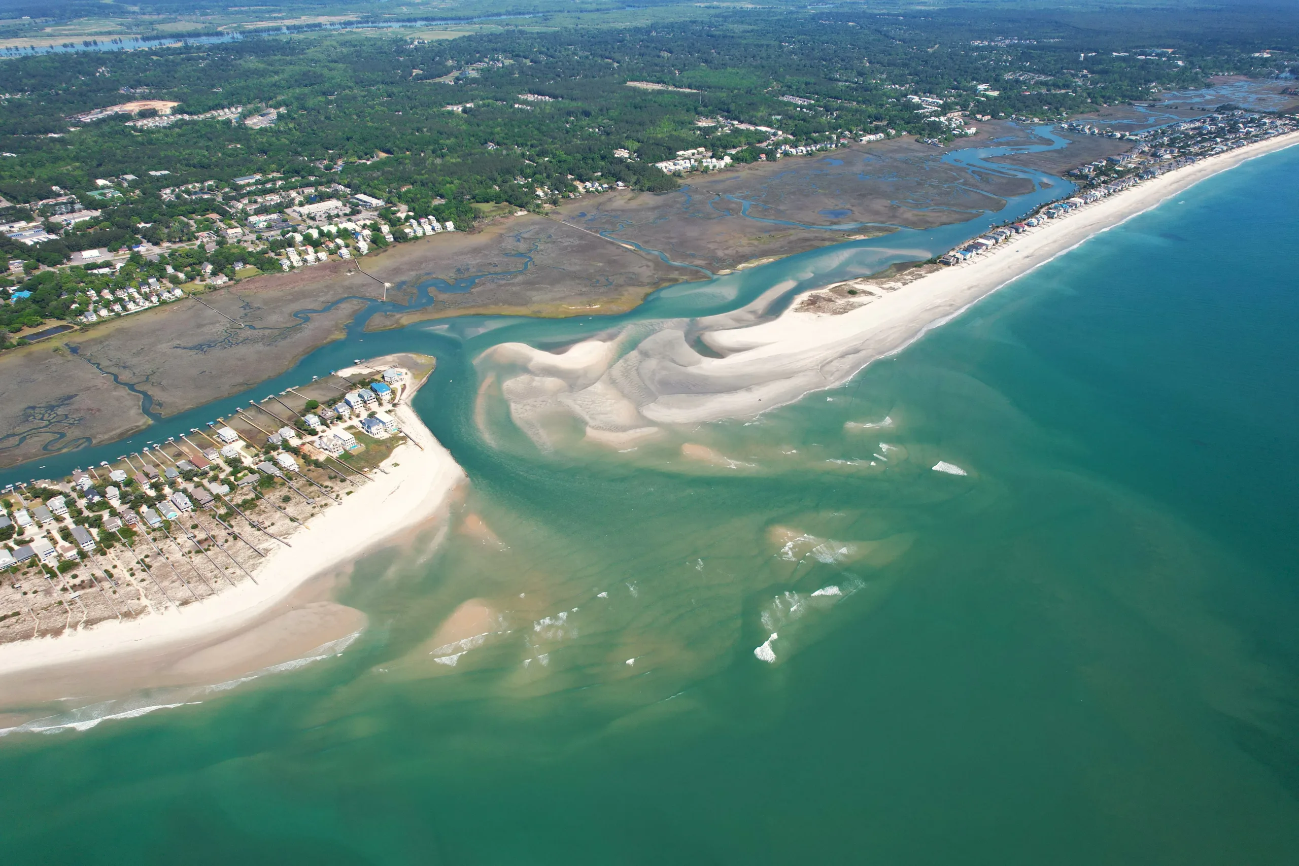
CSE has supported South Carolina's Beach Erosion Research and Monitoring (BERM) program through advanced statewide beach monitoring with precision surveys supporting erosion tracking and performance-driven restoration.
At a Glance
CSE has helped maintain one of South Carolina's most comprehensive long-term shoreline monitoring databases, supporting data-driven coastal planning and regulatory decisions. The program combines consistent field collection, advanced processing, and strict quality control to produce defensible datasets that inform shoreline change forecasting, project performance evaluation, and long-term resilience planning for coastal communities.
Consistent Data for Long-Term Shoreline Trends
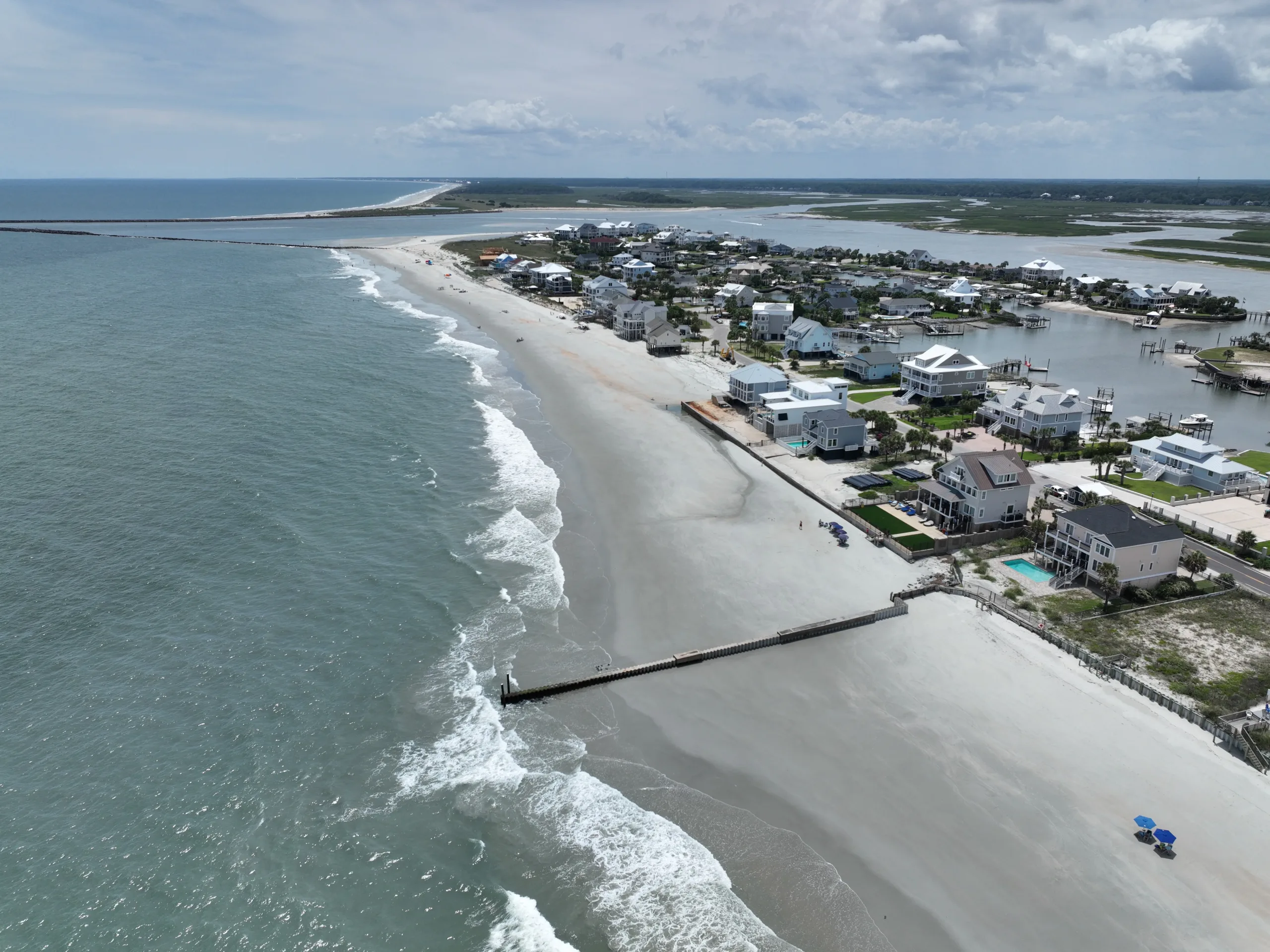
South Carolina requires a reliable, long-term monitoring program to track erosion, storm impacts, and nourishment performance across more than 100 miles of dynamic coastline. The effort demands strict accuracy, consistent survey timing, and coordination across developed and environmentally sensitive beaches. Data must be defensible and decision-ready to support compliance, planning, and post-storm response.
Statewide Coastal Intelligence Through Advanced Surveys
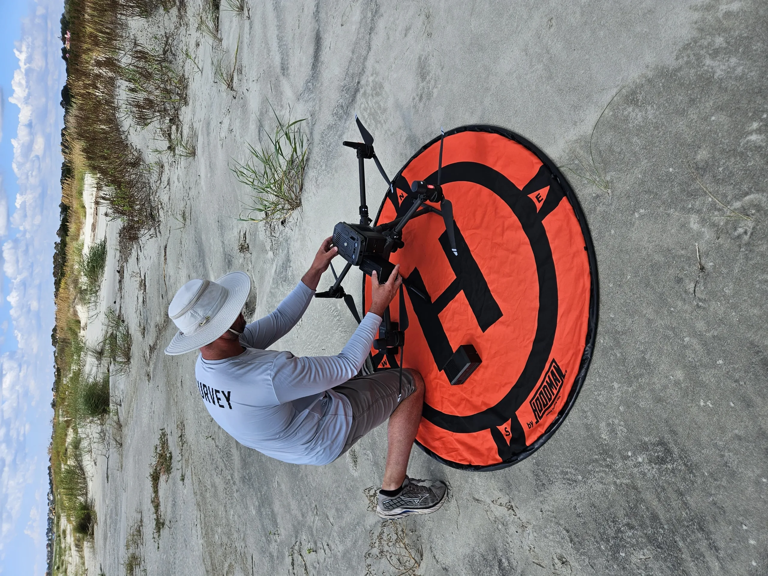
CSE executes a highly coordinated monitoring approach that integrates advanced survey technology, strict QA/QC protocols, and synchronized land, offshore, and aerial data collection. Field teams deploy strategically to capture consistent, seasonally comparable data while maximizing efficiency and capitalizing on optimal weather and tide windows. This disciplined, technology-driven workflow delivers reliable, engineering-grade datasets that support confident coastal management, regulatory compliance, and long-term shoreline planning.
Building Resilience on Reliable Data
The program delivers one of the most consistent, high-quality coastal monitoring datasets in South Carolina, giving agencies and communities the confidence to plan, permit, and design with precision. Reliable, repeatable measurements strengthen erosion forecasting, project performance evaluation, and post-storm response strategies. The result is stronger technical justification for coastal investments, reduced project uncertainty, and better long-term protection of shoreline assets and public infrastructure.
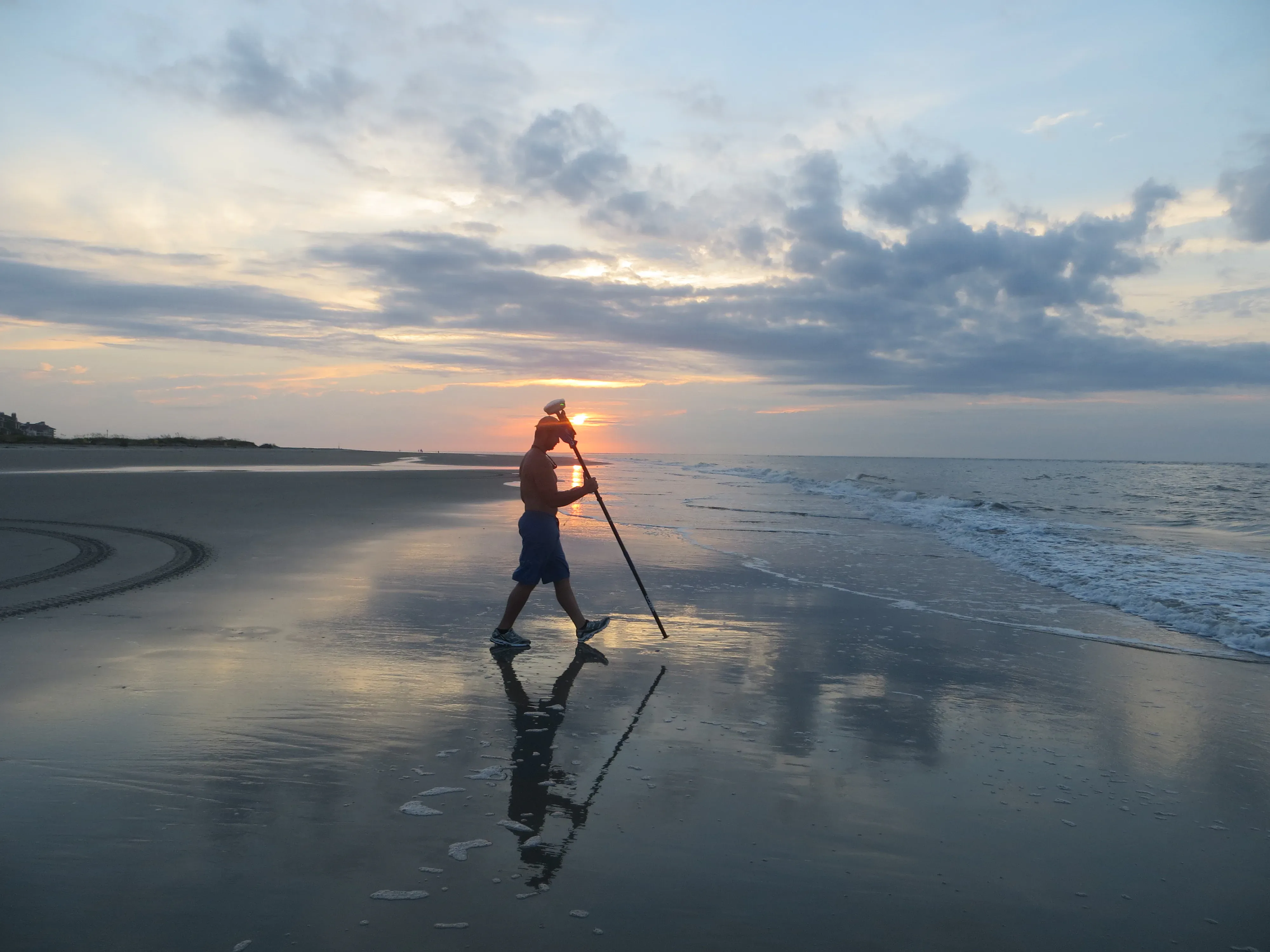
"By capturing critical shoreline data, this monitoring initiative empowers South Carolina leaders to manage beach erosion, plan for the future, and protect our coastal communities."
Drew Giles
CSE/Field Captain
Explore More Long-Term Planning Work
Head back to our projects to see everything under Long-Term Planning.
Explore Long-Term Planning