Isle of Palms, SC
Integrated marine remote sensing mapped submerged features and cultural resources within a proposed offshore borrow area, supporting beach nourishment planning and permitting.
At a Glance
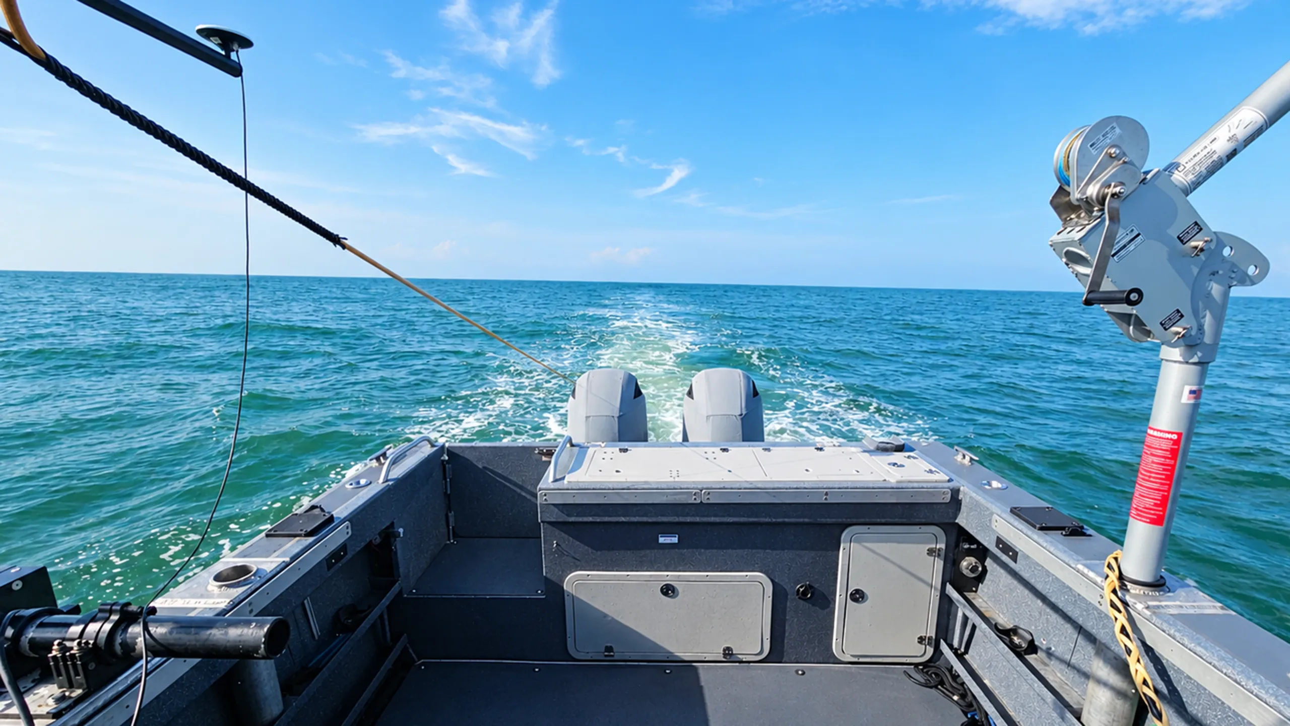
CSE conducted a comprehensive remote-sensing survey offshore Isle of Palms to support a proposed sand borrow area. Working with an underwater archaeologist, CSE combined magnetometry, high-resolution sidescan sonar, sub-bottom profiling, and precise positioning to identify potential cultural resources and establish recommended avoidance areas.
Mapping a Historically Complex Seafloor
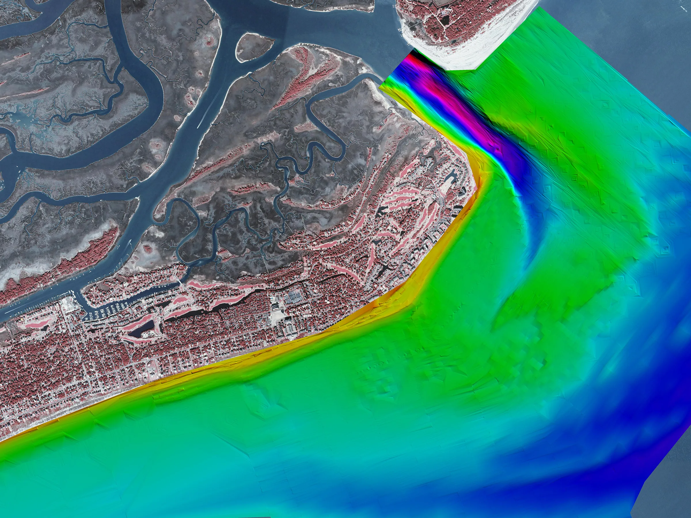
The waters offshore Isle of Palms have a long history of maritime activity, including documented shipwrecks near the proposed borrow area. Before sand could be considered for dredging, the project required detailed remote-sensing data that could detect submerged cultural resources and distinguish potentially significant features from modern debris. The survey also needed to satisfy stringent state and federal archaeological requirements while providing reliable information for future borrow area planning.
Integrating Multiple Remote-Sensing Technologies
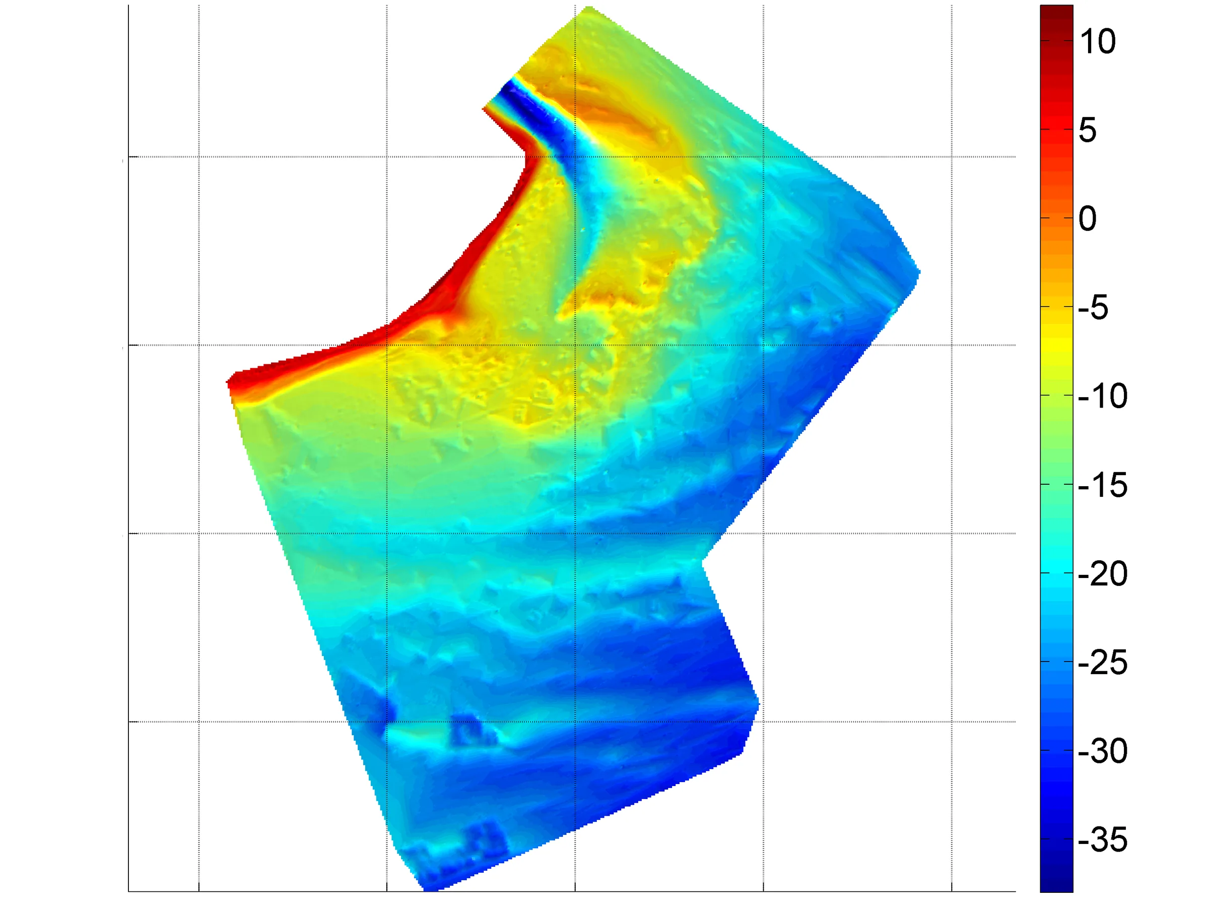
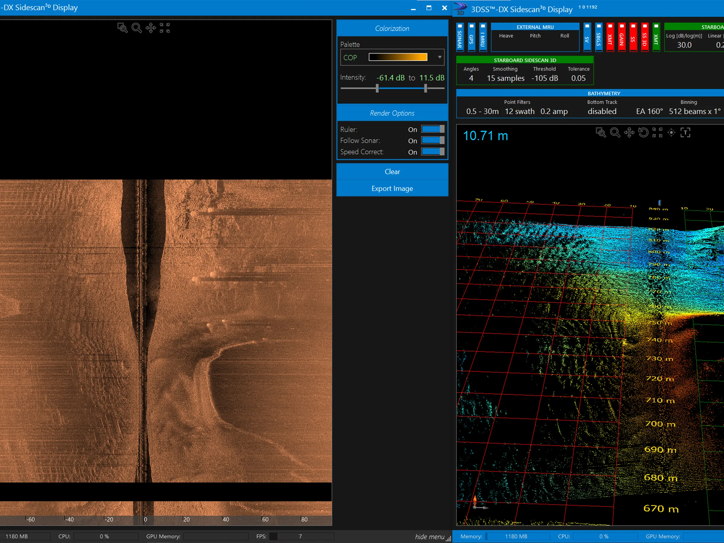
CSE combined magnetometry, high-resolution sidescan sonar, and sub-bottom profiling to detect and map submerged features both on and beneath the seafloor. Using precise positioning and 127 survey lines spaced at 65 feet, the team correlated magnetic and acoustic data to identify potential cultural resources for further evaluation or avoidance.
Defining Clear Avoidance Areas
The survey identified 65 magnetic anomalies, including three concentrations associated with or near documented shipwreck locations. Combined interpretation of magnetometer, sidescan, and sub-bottom data established areas for avoidance or further investigation, providing a defensible technical foundation for borrow-area planning, regulatory coordination, and future nourishment.
"What can’t be seen from the surface can still shape a project. Remote sensing gives us the data to identify those constraints early and plan around them."
Drew Giles
CSE/Field Captain
Explore More Hydrographic Survey Work
Head back to our projects to see everything under Hydrographic Survey.
Explore Hydrographic Survey