SC Department of Environmental Services
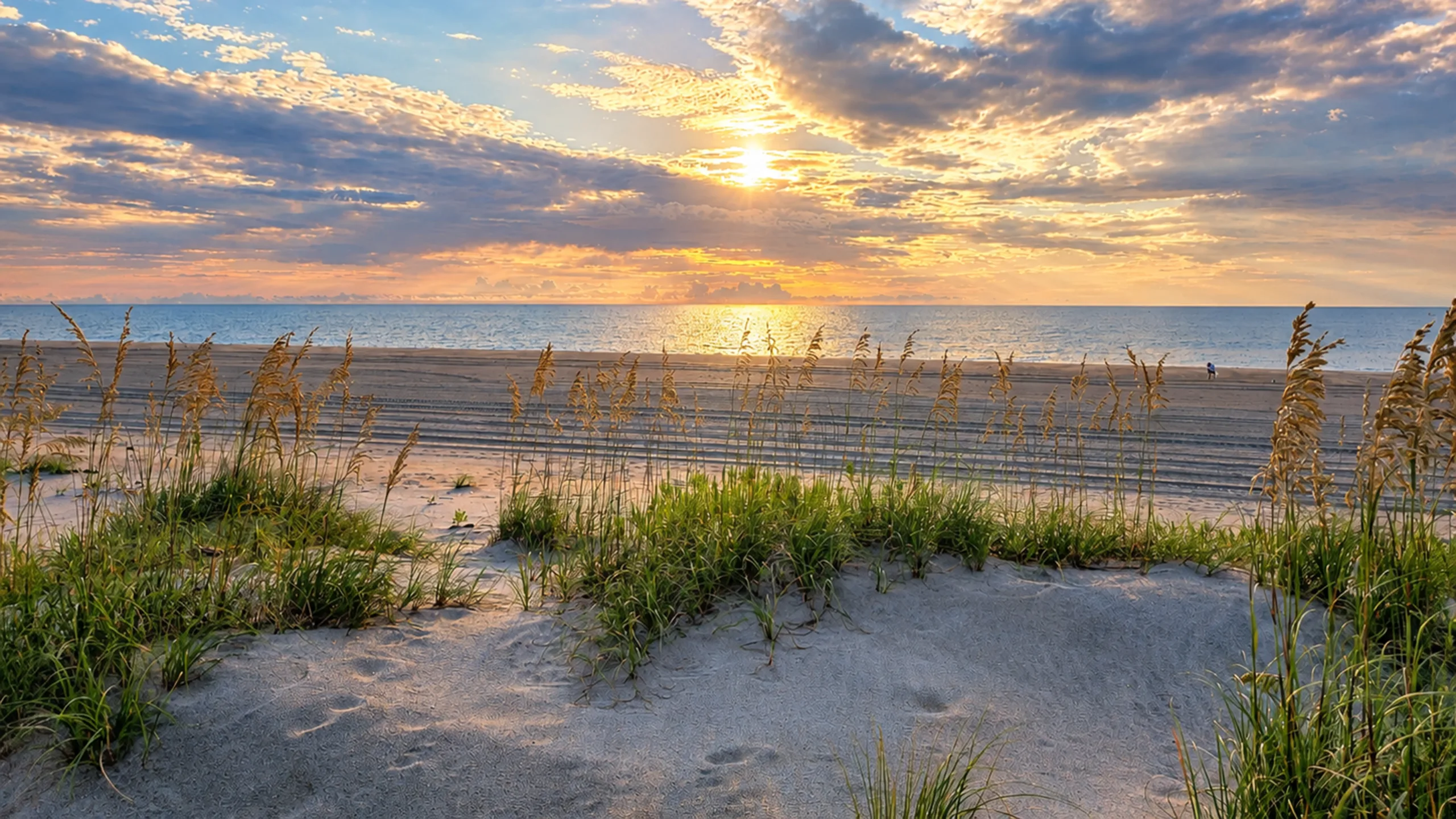
CSE supports South Carolina’s Beach Erosion Research and Monitoring (BERM) program with precision hydrographic and topographic surveys that track shoreline and seafloor change across more than 100 miles of coastline.
At a Glance
CSE has helped build one of South Carolina’s most comprehensive long-term coastal datasets through repeatable land and hydrographic surveys. Consistent measurements capture changes in beach profiles, nearshore bathymetry, and sediment movement, providing reliable data for erosion analysis, nourishment performance evaluation, regulatory decisions, and long-term coastal planning.
Capturing Change Across a Dynamic Coastal System
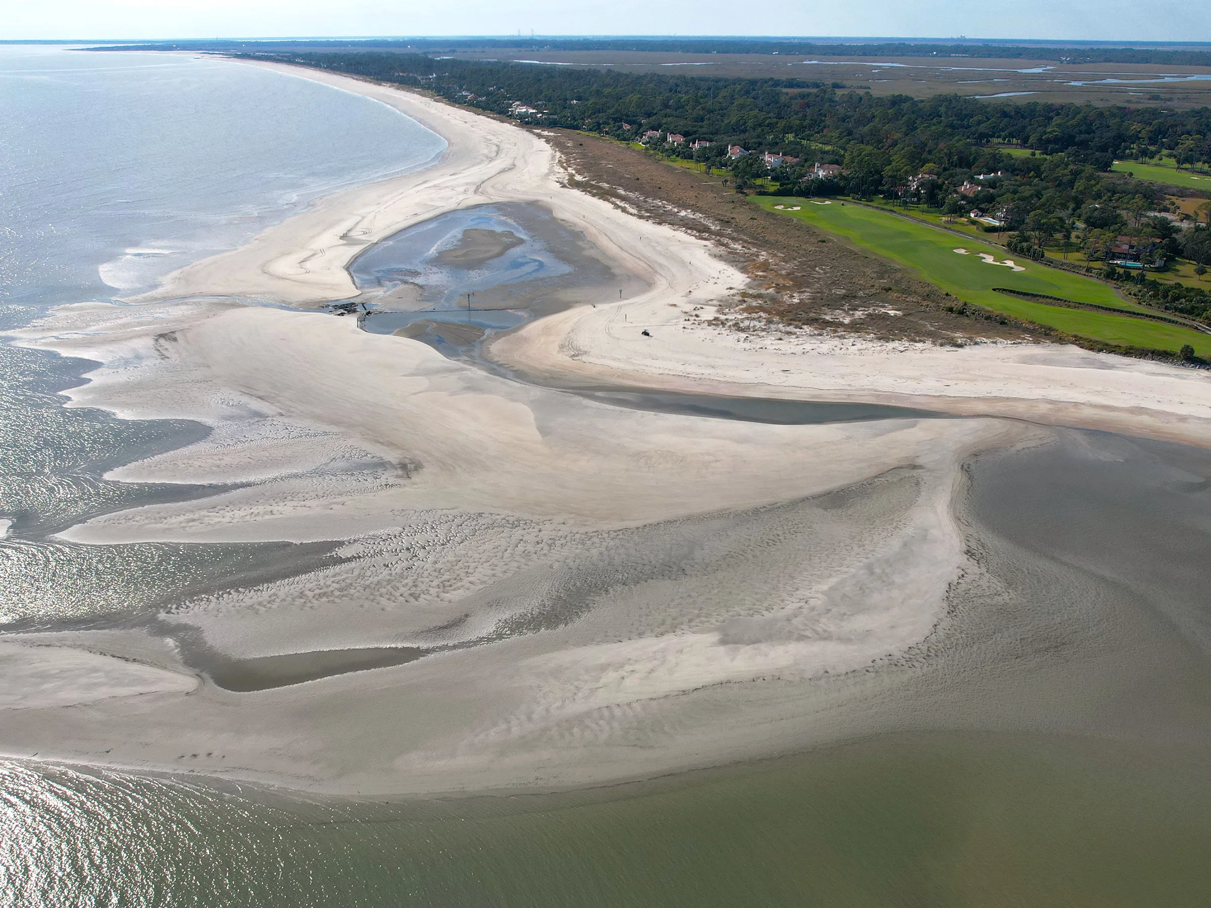
Understanding long-term shoreline change requires accurate measurements extending beyond the visible beach into the nearshore environment. Waves, storms, tides, and sediment transport continually reshape underwater elevations, making consistent hydrographic data essential for identifying erosion trends, evaluating sand movement, and understanding how the entire coastal profile responds over time.

Connecting Beach and Nearshore Bathymetry
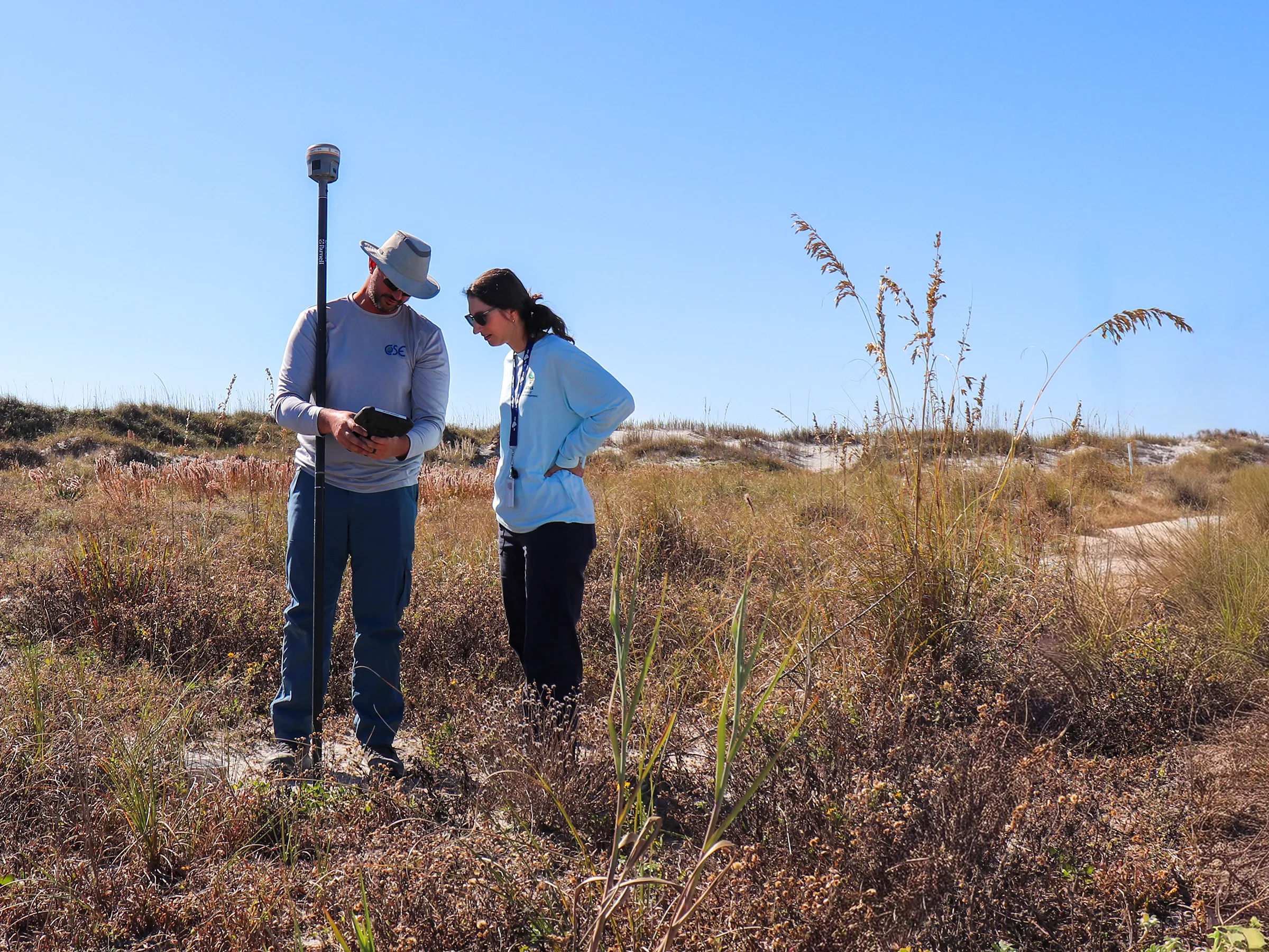
CSE integrates precision land surveying with hydrographic data collection to capture continuous beach and nearshore profiles across South Carolina’s coast. Standardized field methods, precise positioning, and rigorous QA/QC produce consistent, engineering-grade bathymetric datasets that can be compared across seasons and years. This repeatable approach provides a detailed record of changing seafloor elevations and sediment distribution throughout the coastal system.
Turning Bathymetric Data into Coastal Intelligence
Decades of consistent survey data provide a clearer picture of how South Carolina’s beaches and nearshore environments evolve over time. By tracking changes above and below the waterline, CSE helps agencies identify erosion trends, evaluate nourishment performance, quantify sediment movement, and make better-informed decisions about future coastal investments. The result is reliable data that supports more effective planning, design, and long-term shoreline management.
"By capturing critical shoreline data, this monitoring initiative empowers South Carolina leaders to manage beach erosion, plan for the future, and protect our coastal communities."
Drew Giles
CSE/Field Captain
Explore More Hydrographic Survey Work
Head back to our projects to see everything under Hydrographic Survey.
Explore Hydrographic Survey